
WW 38 TORNADO AR LA MS 150245Z – 151000Z
URGENT - IMMEDIATE BROADCAST REQUESTED
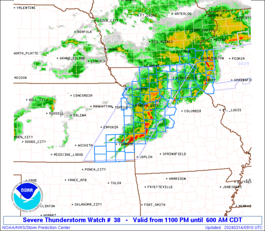
Tornado Watch Number 38
NWS Storm Prediction Center Norman OK
945 PM CDT Fri Mar 14 2025
The NWS Storm Prediction Center has issued a
* Tornado Watch for portions of
Southern Arkansas
Northeast Louisiana
Western Mississippi
* Effective this Friday night and Saturday morning from 945 PM
until 500 AM CDT.
* Primary threats include...
A few tornadoes likely with a couple intense tornadoes possible
Scattered large hail and isolated very large hail events to 2.5
inches in diameter possible
Scattered damaging wind gusts to 70 mph possible
SUMMARY...The moist, unstable, and moderately to strongly sheared
airmass that exists over the region will remain supportive of
thunderstorms capable of all severe hazards, including a strong
(EF2+) tornado, for the next several hours.
The tornado watch area is approximately along and 75 statute miles
east and west of a line from 75 miles southeast of Monroe LA to 35
miles north northwest of Monticello AR. For a complete depiction of
the watch see the associated watch outline update (WOUS64 KWNS
WOU8).
PRECAUTIONARY/PREPAREDNESS ACTIONS...
REMEMBER...A Tornado Watch means conditions are favorable for
tornadoes and severe thunderstorms in and close to the watch
area. Persons in these areas should be on the lookout for
threatening weather conditions and listen for later statements
and possible warnings.
&&
OTHER WATCH INFORMATION...CONTINUE...WW 32...WW 33...WW 34...WW
35...WW 36...WW 37...
AVIATION...Tornadoes and a few severe thunderstorms with hail
surface and aloft to 2.5 inches. Extreme turbulence and surface wind
gusts to 60 knots. A few cumulonimbi with maximum tops to 500. Mean
storm motion vector 24035.
...Mosier