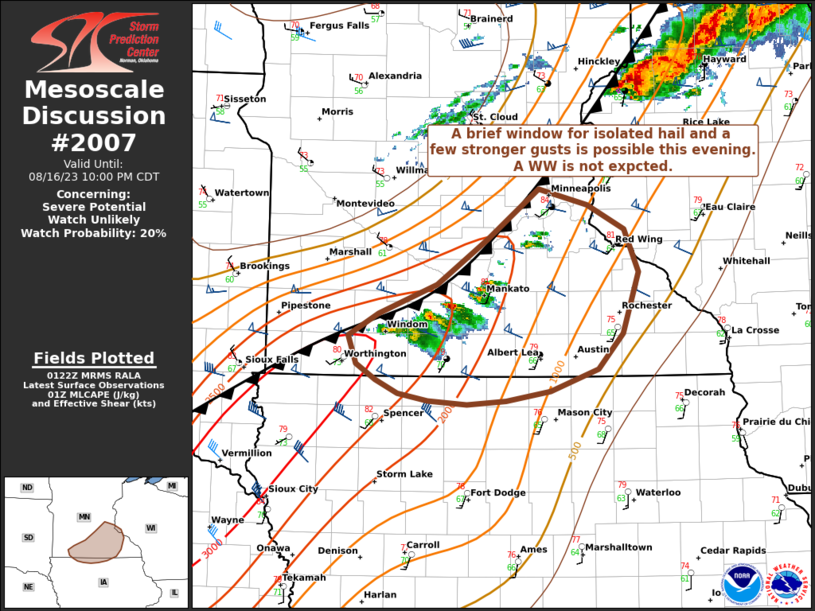
MD 2007 CONCERNING SEVERE POTENTIAL…WATCH UNLIKELY FOR FRONT RANGE OF COLORADO

Mesoscale Discussion 2007
NWS Storm Prediction Center Norman OK
0523 PM CDT Sat Aug 23 2025
Areas affected...Front Range of Colorado
Concerning...Severe potential...Watch unlikely
Valid 232223Z - 240000Z
Probability of Watch Issuance...20 percent
SUMMARY...Isolated large hail (1-1.75 inches in diameter) will be
possible the next few hours, but a watch is not anticipated.
DISCUSSION...A couple of supercells have formed along the Front
Range of CO, roughly 25-45 mi west  and southwest of the Denver.
Boundary-layer dewpoints in the low 50s have spread into the
foothills with upslope flow, and moderate buoyancy is in place just
east of the high terrain.  Though large-scale forcing for ascent is
weak at best, the northwest flow regime favors at least isolated,
southward-moving supercells through this evening.  Sufficiently long
hodographs and steep midlevel lapse rates will favor the potential
for isolated large hail, potentially in the 1-1.75 inch diameter
range.  Given the isolated storm coverage and the likelihood that
storms will remain tied largely to the east slopes of the higher
terrain, a watch is not anticipated.
..Thompson/Smith.. 08/23/2025
...Please see www.spc.noaa.gov for graphic product...
ATTN...WFO...PUB...BOU...
LAT...LON   39650564 39890546 39910522 39730502 39080485 39080482
            38700493 38660530 39040557 39650564
MOST PROBABLE PEAK HAIL SIZE...1.00-1.75 IN
