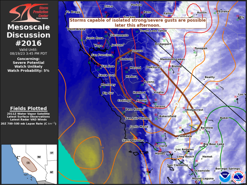
MD 2016 CONCERNING SEVERE POTENTIAL…WATCH UNLIKELY FOR PARTS OF EASTERN CO INTO WESTERN KS AND A SMALL PART OF THE NE PANHANDLE

Mesoscale Discussion 2016
NWS Storm Prediction Center Norman OK
0313 PM CDT Wed Aug 27 2025
Areas affected...Parts of eastern CO into western KS and a small
part of the NE Panhandle
Concerning...Severe potential...Watch unlikely
Valid 272013Z - 272215Z
Probability of Watch Issuance...20 percent
SUMMARY...Strong to locally severe storms are possible later this
afternoon into this evening.
DISCUSSION...Clearing in the wake of earlier mid/high-level
cloudiness has allowed for modest diurnal heating from eastern CO
into west-central/southwest KS. Temperatures aloft are relatively
warm, but boundary-layer warming and sufficient low-level moisture
are supporting MLCAPE of near/above 1000 J/kg, with locally greater
values across southwest KS. Weak storms have already developed near
the CO Front Range, with building cumulus noted in the vicinity of
multiple surface confluence zones across northeast CO, east-central
CO, and southeast CO into southwest KS.
Westerly midlevel flow is relatively modest (generally 20-25 kt),
but sufficient veering in the wind profile is supporting effective
shear of 25-30 kt. With time, a few organized multicells and perhaps
a marginal supercell or two could evolve as developing convection
deepens and matures through late afternoon. The strongest cells
could produce isolated hail, though generally weak midlevel lapse
rates will tend to limit the magnitude of the hail threat. Outflow
amalgamation could result in loosely organized upscale growth by
early evening, with a threat for strong to locally severe gusts.
..Dean/Gleason.. 08/27/2025
...Please see www.spc.noaa.gov for graphic product...
ATTN...WFO...DDC...GLD...PUB...BOU...CYS...
LAT...LON   40720462 40840406 41210382 41490378 41510312 41050292
            39860214 38760137 37820072 37200076 37180183 37290306
            38450481 39500491 40360518 40700483 40720462
MOST PROBABLE PEAK WIND GUST...55-70 MPH
MOST PROBABLE PEAK HAIL SIZE...1.00-1.75 IN
