
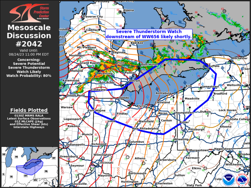
MD 2042 CONCERNING SEVERE POTENTIAL…WATCH LIKELY FOR PARTS OF NEW ENGLAND INTO THE NORTHERN MID ATLANTIC
Mesoscale Discussion 2042
NWS Storm Prediction Center Norman OK
1056 AM CDT Sat Sep 06 2025
Areas affected...Parts of New England into the northern Mid Atlantic
Concerning...Severe potential...Watch likely
Valid 061556Z - 061730Z
Probability of Watch Issuance...80 percent
SUMMARY...Strong to severe storm development is possible by early
afternoon. Issuance of one or more watches is likely.
DISCUSSION...Filtered heating is ongoing late this morning from
parts of NJ/eastern PA into parts of New England, to the east of a
substantial cloud shield and embedded weak convection. Morning
soundings depict generally poor midlevel lapse rates, but relatively
rich low-level moisture (with dewpoints in the 60s to near 70 F) and
continued heating will result in MLCAPE increasing to the 1000-1500
J/kg range. Scattered surface-based storm development is expected as
soon as early afternoon, as a cold front begins to impinge upon this
destabilizing environment.
Deep-layer shear is already rather strong across the region, and
will continue to increase in response to a notable mid/upper-level
shortwave trough approaching the lower Great Lakes region. Initial
development may quickly evolve into a few supercells, though
deep-layer flow/shear roughly parallel to the front may eventually
result in a tendency toward storm clustering and possible QLCS
development. Some increase in low-level shear/SRH with time could
support a tornado threat with any discrete or embedded supercells,
especially where surface winds remain locally backed near a weak
surface wave that will traverse the front this afternoon. Isolated
hail may also occur with any supercells. Otherwise, scattered
damaging wind will become increasingly possible with time, as storm
coverage increases and low-level lapse rates steepen.
One or more watches will likely be issued by early afternoon in
order to cover these threats.
..Dean/Hart.. 09/06/2025
...Please see www.spc.noaa.gov for graphic product...
ATTN...WFO...CAR...GYX...BOX...BTV...OKX...ALY...PHI...BGM...
CTP...LWX...
LAT...LON   40787571 42387405 43467265 44817037 45396938 45596874
            45246817 44116943 43467045 43057062 42057186 40337396
            39707470 39517551 39407598 39657641 40097632 40787571
MOST PROBABLE PEAK TORNADO INTENSITY...85-115 MPH
MOST PROBABLE PEAK WIND GUST...55-70 MPH
MOST PROBABLE PEAK HAIL SIZE...1.00-1.75 IN