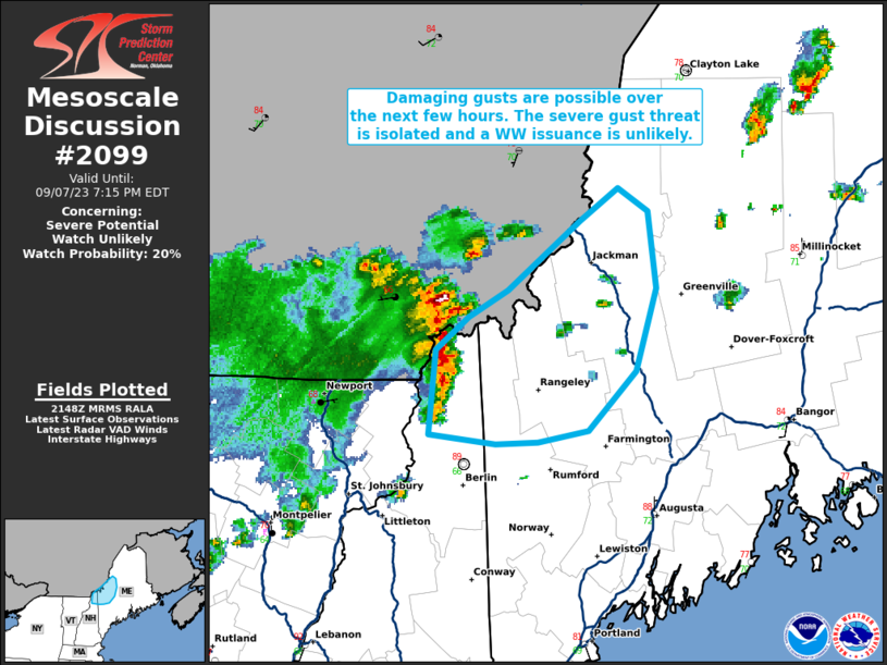
MD 2099 CONCERNING SEVERE THUNDERSTORM WATCH 614… FOR MISSOURI

Mesoscale Discussion 2099
NWS Storm Prediction Center Norman OK
0603 PM CDT Thu Sep 18 2025
Areas affected...Missouri
Concerning...Severe Thunderstorm Watch 614...
Valid 182303Z - 190100Z
The severe weather threat for Severe Thunderstorm Watch 614
continues.
SUMMARY...Isolated wind/hail can be expected with convection as it
spreads east this evening.
DISCUSSION...A well-defined short-wave trough is advancing east
across NE/KS early this evening. In response to this short wave, a
weak surface boundary is serving as the focus for a broken line of
robust convection, currently extending from Livingston County
MO-Barry County MO-Crawford County AR. This activity is propagating
through a modestly buoyant corridor of instability characterized by
1000-1500 J/kg MLCAPE. Isolated severe winds and marginally severe
hail have been reported with these storms, but 0-6km shear is
seasonally weak and 500mb flow is on the order of 20-25kt. As a
result, gusty winds should be the primary threat with this frontal
convection as it propagates toward the eastern edge of ww614.
..Darrow.. 09/18/2025
...Please see www.spc.noaa.gov for graphic product...
ATTN...WFO...LSX...LZK...SGF...EAX...TSA...
LAT...LON   36489407 39449427 39449201 36499192 36489407
MOST PROBABLE PEAK WIND GUST...55-70 MPH
MOST PROBABLE PEAK HAIL SIZE...UP TO 1.25 IN
