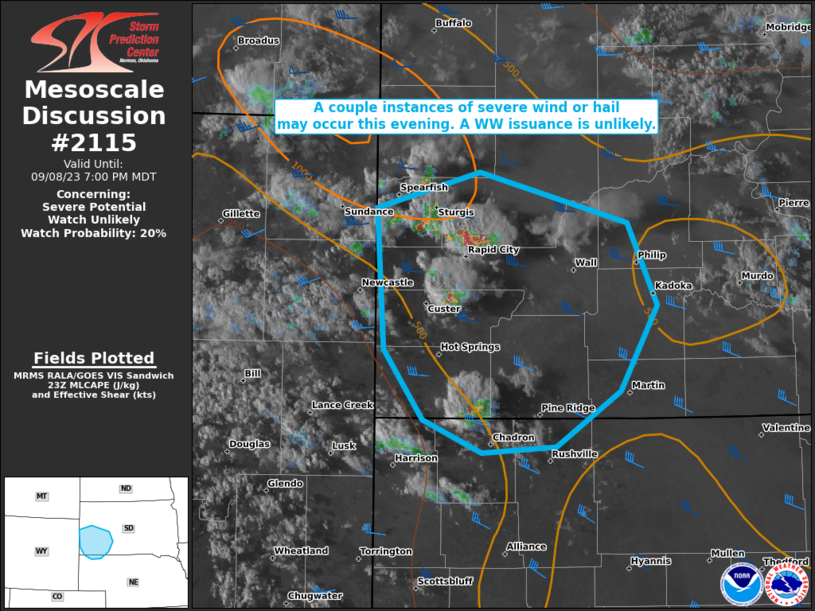
MD 2115 CONCERNING SEVERE POTENTIAL…WATCH POSSIBLE FOR SOUTHEAST INDIANA AND NORTHERN KENTUCKY INTO CENTRAL OHIO

Mesoscale Discussion 2115
NWS Storm Prediction Center Norman OK
1228 PM CDT Mon Sep 22 2025
Areas affected...southeast Indiana and northern Kentucky into
central Ohio
Concerning...Severe potential...Watch possible
Valid 221728Z - 222030Z
Probability of Watch Issuance...40 percent
SUMMARY...Corridors of strong to damaging gusts may develop after
20Z from southeast Indiana and northern Kentucky into central Ohio.
DISCUSSION...An area of rain and thunderstorms associated with a
midlevel disturbance is currently moving across southern Indiana.
Ahead of this feature, scattered showers are evident in association
with low-level warm advection over southern Ohio and northeast
Kentucky.
Heating and destabilization is most prominent south of these
features into Kentucky, where visible satellite imagery shows areas
of clearing. Precipitable water values are over 1.50", with MLCAPE
currently in the 500-1000 J/kg range.
As the midlevel wave translates northeast across Indiana and into
Ohio, boundary layer mixing with gusty southwest winds during the
peak heating hours will lead to strengthening storms, possibly
linear in nature. Mean wind speeds of 30-40 kt in the low to mid
levels and ample downdraft mass will result in strong wind gusts,
perhaps damaging in spots. Any such line of storms tied to the
vorticity max could exhibit periods of weak low-level rotation as
well, perhaps resulting in localized severe gusts.
..Jewell/Smith.. 09/22/2025
...Please see www.spc.noaa.gov for graphic product...
ATTN...WFO...PBZ...RLX...CLE...JKL...ILN...LMK...
LAT...LON   38528580 39188494 40378342 40478278 40558197 40248174
            39388181 38198292 38038367 37778611 38078627 38528580
MOST PROBABLE PEAK WIND GUST...UP TO 60 MPH
