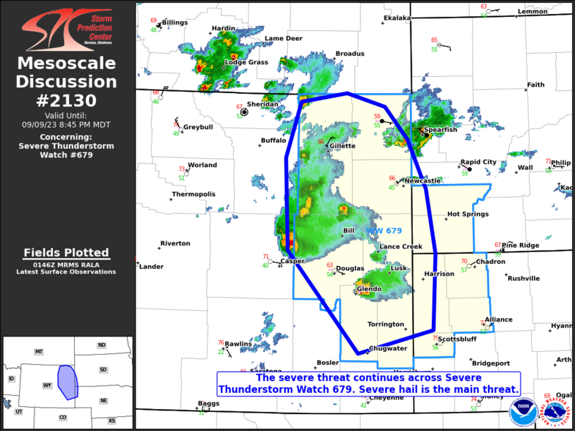
MD 2130 CONCERNING SEVERE POTENTIAL…WATCH UNLIKELY FOR PORTIONS OF CENTRAL/SOUTHERN ARIZONA

Mesoscale Discussion 2130
NWS Storm Prediction Center Norman OK
1146 AM CDT Fri Sep 26 2025
Areas affected...portions of central/southern Arizona
Concerning...Severe potential...Watch unlikely
Valid 261646Z - 261845Z
Probability of Watch Issuance...20 percent
SUMMARY...A few instances of severe hail/wind will be possible
through the early afternoon. Stronger thunderstorm development may
occur by late afternoon/evening.
DISCUSSION...Thunderstorms are ongoing across portions of
central/southern Arizona this morning. MLCAPE around 1000 J/kg and
enhanced deep layer shear around 35-40 kts with the upper-level
trough may support occasional stronger storm activity through the
morning. This activity may produce isolated strong to severe wind
and hail. Overall, this risk is expected to remain localized in the
short term.
With additional daytime heating, air mass recovery behind the
morning convection seems probable. A corridor of stronger
thunderstorm activity may develop across the low deserts later this
afternoon behind the morning wave of convection. This may support a
more concentrated severe risk and warrant higher watch
probabilities.
..Thornton/Mosier.. 09/26/2025
...Please see www.spc.noaa.gov for graphic product...
ATTN...WFO...TWC...FGZ...PSR...
LAT...LON   33100937 32440921 31820925 31300908 31301099 31591193
            33381285 34231237 34551197 34661169 34421122 34181079
            33981040 33700988 33100937
MOST PROBABLE PEAK TORNADO INTENSITY...UP TO 95 MPH
MOST PROBABLE PEAK WIND GUST...UP TO 60 MPH
MOST PROBABLE PEAK HAIL SIZE...UP TO 1.25 IN
