
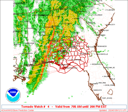
WW 4 TORNADO AL FL GA CW 251650Z – 260000Z
URGENT - IMMEDIATE BROADCAST REQUESTED
Tornado Watch Number 4
NWS Storm Prediction Center Norman OK
1050 AM CST Sun Jan 25 2026
The NWS Storm Prediction Center has issued a
* Tornado Watch for portions of
  Southeast Alabama
  Western Florida Panhandle
  Southwest Georgia
  Coastal Waters
* Effective this Sunday morning and evening from 1050 AM until
  600 PM CST.
* Primary threats include...
  A few tornadoes possible
  Scattered damaging wind gusts to 70 mph possible
SUMMARY...Thunderstorms are intensifying along a cold front over
western Alabama.  This activity will spread eastward through the
afternoon, posing a risk of damaging wind gusts and a few tornadoes.
The tornado watch area is approximately along and 55 statute miles
either side of a line from 20 miles west southwest of Evergreen AL
to 25 miles north northeast of Moultrie GA. For a complete depiction
of the watch see the associated watch outline update (WOUS64 KWNS
WOU4).
PRECAUTIONARY/PREPAREDNESS ACTIONS...
REMEMBER...A Tornado Watch means conditions are favorable for
tornadoes and severe thunderstorms in and close to the watch
area. Persons in these areas should be on the lookout for
threatening weather conditions and listen for later statements
and possible warnings.
&&
AVIATION...Tornadoes and a few severe thunderstorms with hail
surface and aloft to 0.5 inches. Extreme turbulence and surface wind
gusts to 60 knots. A few cumulonimbi with maximum tops to 450. Mean
storm motion vector 25040.
...Hart