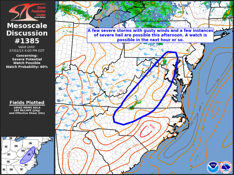
MD 1385 CONCERNING SEVERE POTENTIAL…WATCH POSSIBLE FOR PORTIONS OF EASTERN PA…SOUTHEAST NY…NORTHWEST NJ…CT…AND SOUTHERN MA
Mesoscale Discussion 1385
NWS Storm Prediction Center Norman OK
0223 PM CDT Sun Jun 23 2024
Areas affected…Portions of eastern PA…southeast NY…northwest
NJ…CT…and southern MA
Concerning…Severe potential…Watch possible
Valid 231923Z – 232130Z
Probability of Watch Issuance…40 percent
SUMMARY…The area is being monitored for a few strong to severe
storms this afternoon. Damaging winds and perhaps a tornado or two
appear to be the main concerns. Convective and environmental trends
are being monitored for a possible watch for parts of the area.
DISCUSSION…Strong diurnal heating within cloud breaks from eastern
PA northeastward across southern New England is supporting steep
low-level lapse rates amid lower 70s boundary-layer dewpoints. While
large-scale ascent is generally weak across the area, convection
approaching from the west and potentially new development along
mesoscale/differential heating boundaries could become strong to
severe, given 40 kt of deep-layer shear per regional VWP. Ample
low/midlevel flow and the steepened low-level lapse rates will favor
a damaging-wind risk, and sufficient low-level hodograph curvature
could support a brief tornado or two with any sustained supercell
structures. Overall, confidence in the development of persistent
strong/severe updrafts is low owing to the weak forcing for ascent,
though convective and environmental trends are being monitored for a
possible watch this afternoon.
..Weinman/Hart.. 06/23/2024
…Please see www.spc.noaa.gov for graphic product…
ATTN…WFO…BOX…OKX…ALY…PHI…BGM…CTP…
LAT…LON 40567764 41927651 42667570 42767522 42707460 42197261
42117118 41827107 41617114 41417205 41337260 41267332
40707473 40077557 39857619 39887700 40157759 40567764
