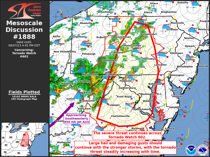
MD 1888 CONCERNING SEVERE POTENTIAL…WATCH UNLIKELY FOR NORTH-CENTRAL MONTANA
Mesoscale Discussion 1888
NWS Storm Prediction Center Norman OK
0513 PM CDT Mon Aug 12 2024
Areas affected…North-central Montana
Concerning…Severe potential…Watch unlikely
Valid 122213Z – 130015Z
Probability of Watch Issuance…5 percent
SUMMARY…A potential will exist for marginally severe gusts and
hail early this evening across parts of north-central Montana. No
watch issuance is anticipated.
DISCUSSION…The latest water-vapor imagery shows a subtle shortwave
trough over the northern Rockies, embedded in southwest mid-level
flow. At the surface, a mesolow is analyzed over north-central
Montana, with upslope east-southeasterly flow located across much of
northern and eastern Montana. Isolated thunderstorms have developed
near and to the north of the low along a narrow corridor of
instability, where the RAP is estimating SBCAPE in the 1000 to 1500
J/kg range. Short-term forecast soundings in north-central Montana
early this evening have a relatively dry boundary layer, but show
steep lapse rates and moderate deep-layer shear. This may be enough
for a marginal severe threat for a few hours. Strong gusts and hail
will be possible.
..Broyles/Edwards.. 08/12/2024
…Please see www.spc.noaa.gov for graphic product…
ATTN…WFO…GGW…TFX…
LAT…LON 47221015 47150938 47340862 47740811 48320827 48880909
48961048 48861165 48541205 48011188 47221015
