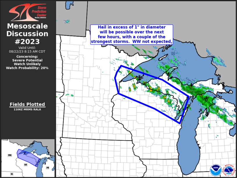
MD 2023 CONCERNING SEVERE THUNDERSTORM WATCH 604… FOR SOUTHERN HIGH PLAINS

Mesoscale Discussion 2023
NWS Storm Prediction Center Norman OK
0909 PM CDT Fri Aug 29 2025
Areas affected...Southern High Plains
Concerning...Severe Thunderstorm Watch 604...
Valid 300209Z - 300415Z
The severe weather threat for Severe Thunderstorm Watch 604
continues.
SUMMARY...Gusty winds may accompany storms as they propagate
southeast this evening.
DISCUSSION...Several thunderstorm clusters persist this evening
across the High Plains from northwest KS into east central NM. This
activity appears to be aided by a short-wave trough that is
flattening the ridge over CO. 00z soundings from both AMA and DDC
exhibited around 7-7.5 C/km lapse rates, and more than adequate
shear for maintaining these clusters as they propagate southeast.
While large-scale support will continue to encourage some longevity,
buoyancy is not particularly strong, especially given the weak
low-level inflow. Gusty winds are the main concern with these storms
as they move southeast, but a new watch is not currently anticipated
downstream.
..Darrow.. 08/30/2025
...Please see www.spc.noaa.gov for graphic product...
ATTN...WFO...DDC...GLD...AMA...PUB...ABQ...
LAT...LON   35020341 36250183 37090193 37670288 38750140 36190105
            34760273 35020341
MOST PROBABLE PEAK WIND GUST...55-70 MPH
MOST PROBABLE PEAK HAIL SIZE...UP TO 1.25 IN
