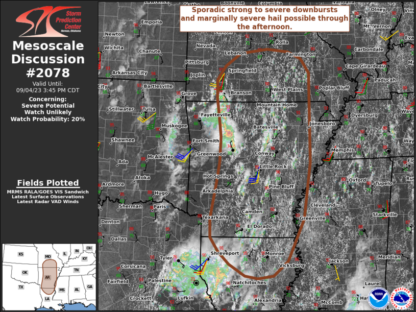
MD 2078 CONCERNING TORNADO WATCH 610… FOR CENTRAL NORTH DAKOTA

Mesoscale Discussion 2078
NWS Storm Prediction Center Norman OK
0347 PM CDT Sun Sep 14 2025
Areas affected...central North Dakota
Concerning...Tornado Watch 610...
Valid 142047Z - 142215Z
The severe weather threat for Tornado Watch 610 continues.
SUMMARY...Tornado risk continues within WW610.
DISCUSSION...Several tornadoes have been noted across portions of
northern SD into central ND this afternoon with low topped supercell
storms. This is ongoing in the vicinity of a lifting warm front and
remnant MCV, which is locally enhancing surface vorticity. This
trend is likely to continue, with potential for additional tornadoes
to develop. Much warmer air continues to funnel in from the
southeast, with additional thunderstorm development ongoing along
and south of the warm front. These may also pose a risk over the
next few hours.
..Thornton.. 09/14/2025
...Please see www.spc.noaa.gov for graphic product...
ATTN...WFO...BIS...
LAT...LON   46560089 47160111 47280107 47930093 48120022 47829995
            47019941 46509974 46400087 46560089
MOST PROBABLE PEAK TORNADO INTENSITY...85-115 MPH
MOST PROBABLE PEAK WIND GUST...55-70 MPH
MOST PROBABLE PEAK HAIL SIZE...UP TO 1.25 IN
