
WW 47 TORNADO TN 151750Z – 160200Z
URGENT - IMMEDIATE BROADCAST REQUESTED
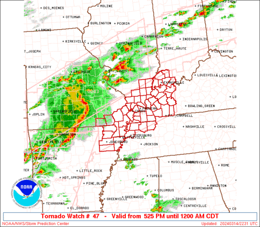
Tornado Watch Number 47
NWS Storm Prediction Center Norman OK
1250 PM CDT Sat Mar 15 2025
The NWS Storm Prediction Center has issued a
* Tornado Watch for portions of
Middle Tennessee
* Effective this Saturday afternoon and evening from 1250 PM
until 900 PM CDT.
* Primary threats include...
Several tornadoes and a couple intense tornadoes likely
Widespread damaging winds and isolated significant gusts to 75
mph likely
Scattered large hail and isolated very large hail events to 2
inches in diameter possible
SUMMARY...A line of thunderstorms will spread east-northeastward
across middle Tennessee this afternoon and evening. Widespread
damaging winds up to 60-75 mph are expected along with several
tornadoes as the environment becomes increasingly favorable for
severe thunderstorms. A couple strong to intense tornadoes also
appear posssible with any embedded supercells.
The tornado watch area is approximately along and 65 statute miles
east and west of a line from 65 miles east northeast of Nashville TN
to 85 miles south southwest of Nashville TN. For a complete
depiction of the watch see the associated watch outline update
(WOUS64 KWNS WOU7).
PRECAUTIONARY/PREPAREDNESS ACTIONS...
REMEMBER...A Tornado Watch means conditions are favorable for
tornadoes and severe thunderstorms in and close to the watch
area. Persons in these areas should be on the lookout for
threatening weather conditions and listen for later statements
and possible warnings.
&&
OTHER WATCH INFORMATION...CONTINUE...WW 44...WW 45...WW 46...
AVIATION...Tornadoes and a few severe thunderstorms with hail
surface and aloft to 2 inches. Extreme turbulence and surface wind
gusts to 65 knots. A few cumulonimbi with maximum tops to 500. Mean
storm motion vector 24040.
...Gleason