
WW 48 TORNADO GA NC TN 152155Z – 160500Z
URGENT - IMMEDIATE BROADCAST REQUESTED
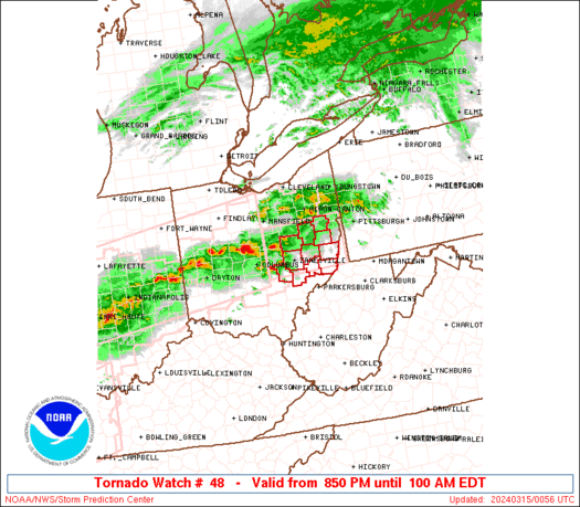
Tornado Watch Number 48
NWS Storm Prediction Center Norman OK
555 PM EDT Sat Mar 15 2025
The NWS Storm Prediction Center has issued a
* Tornado Watch for portions of
Northwest Georgia
Far Western North Carolina
Eastern Tennessee
* Effective this Saturday afternoon and Sunday morning from 555
PM until 100 AM EDT.
* Primary threats include...
A few tornadoes likely with a couple intense tornadoes possible
Widespread damaging winds and isolated significant gusts to 75
mph likely
Scattered large hail and isolated very large hail events to 2
inches in diameter possible
SUMMARY...Severe thunderstorms will move northeast across the watch
area through this evening, with a risk for tornadoes, a couple
potentially strong, damaging wind gusts and large hail.
The tornado watch area is approximately along and 35 statute miles
east and west of a line from 50 miles north of Knoxville TN to 40
miles south southeast of Chattanooga TN. For a complete depiction of
the watch see the associated watch outline update (WOUS64 KWNS
WOU8).
PRECAUTIONARY/PREPAREDNESS ACTIONS...
REMEMBER...A Tornado Watch means conditions are favorable for
tornadoes and severe thunderstorms in and close to the watch
area. Persons in these areas should be on the lookout for
threatening weather conditions and listen for later statements
and possible warnings.
&&
OTHER WATCH INFORMATION...CONTINUE...WW 45...WW 46...WW 47...
AVIATION...Tornadoes and a few severe thunderstorms with hail
surface and aloft to 2 inches. Extreme turbulence and surface wind
gusts to 65 knots. A few cumulonimbi with maximum tops to 450. Mean
storm motion vector 25040.
...Bunting