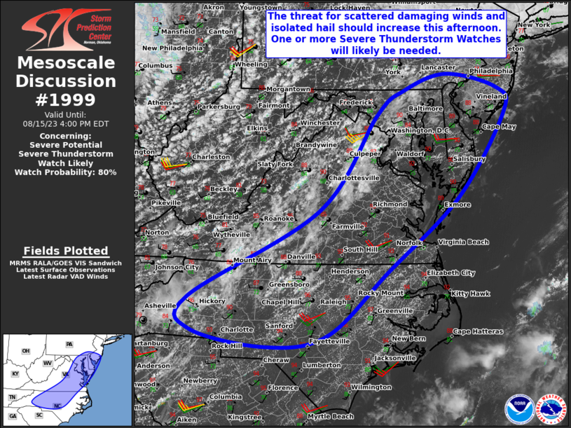
MD 1999 CONCERNING SEVERE POTENTIAL…WATCH POSSIBLE FOR PARTS OF WEST-CENTRAL MN…FAR SOUTHEASTERN ND…AND EASTERN/CENTRAL SD

Mesoscale Discussion 1999
NWS Storm Prediction Center Norman OK
0521 PM CDT Thu Aug 21 2025
Areas affected...Parts of west-central MN...far southeastern
ND...and eastern/central SD
Concerning...Severe potential...Watch possible
Valid 212221Z - 212345Z
Probability of Watch Issuance...40 percent
SUMMARY...Monitoring the area for some increase in
severe-thunderstorm potential over the next few hours. Any sustained
storms will be capable of producing large hail and severe gusts. It
is unclear if a watch is needed.
DISCUSSION...Latest surface observations show a pre-frontal wind
shift extending from far southeastern ND into eastern/central SD.
Isolated thunderstorms have developed along the wind shift in far
southeastern ND, while a separate area of boundary-layer cumulus has
attempted to deepen over east-central SD. Along/ahead of the surface
boundary, strong diurnal heating amid middle 70s dewpoints and steep
midlevel lapse rates has eroded antecedent convective inhibition and
is contributing to a strongly unstable air mass. At the same time,
the ABR VWP is sampling around 40 kt of 0-6 km shear, which is
oriented oblique to the surface boundary. While generally weak
large-scale forcing for ascent and some lingering inhibition cast
uncertainty on storm coverage and longevity, any storms that do
evolve could become discrete/semi-discrete supercells and pose a
risk of large hail and locally severe wind gusts. Given the
uncertainty in storm coverage/longevity, it is unclear if a watch
will be needed, though convective trends are being monitored.
..Weinman/Mosier.. 08/21/2025
...Please see www.spc.noaa.gov for graphic product...
ATTN...WFO...MPX...FGF...FSD...ABR...
LAT...LON   46899512 46409501 45769528 45139602 44659674 43919833
            43759901 43919947 44189970 44709965 45099893 46139719
            46909649 47179601 47179555 46899512
MOST PROBABLE PEAK TORNADO INTENSITY...UP TO 95 MPH
MOST PROBABLE PEAK WIND GUST...55-70 MPH
MOST PROBABLE PEAK HAIL SIZE...1.50-2.50 IN
