
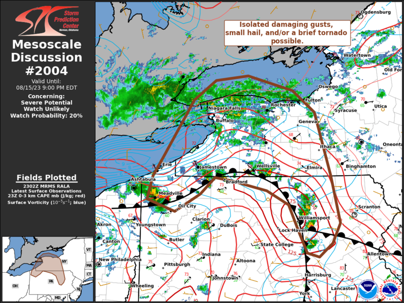
MD 2004 CONCERNING SEVERE POTENTIAL…WATCH UNLIKELY FOR EASTERN NEBRASKA INTO WESTERN IOWA
Mesoscale Discussion 2004
NWS Storm Prediction Center Norman OK
0231 PM CDT Fri Aug 22 2025
Areas affected...Eastern Nebraska into western Iowa
Concerning...Severe potential...Watch unlikely
Valid 221931Z - 222130Z
Probability of Watch Issuance...5 percent
SUMMARY...A strong to severe storm or two may emerge later this
afternoon across eastern Nebraska into western Iowa. This threat is
expected to remain sufficiently isolated to preclude watch issuance.
DISCUSSION...Convection percolating along a weak cold front across
northeast NE over the past 1-2 hours has recently shown signs of
slow intensification per cooling cloud-top temperatures, increased
lightning counts, and increasing vertically integrated ice values.
This intensification is most likely attributable to gradual
destabilization across eastern NE/western IA where temperatures are
climbing into in the low/mid 80s. A modified 18z OAX sounding
suggests that this air mass is supporting MLCAPE values around 1000
J/kg MLCAPE, and 25-30 knot flow is noted between 5-7 km AGL. This
parameter space is generally supportive of at least loosely
organized convection that may pose a severe hail/wind risk through
the afternoon. However, poor lapse-rates between 1-5 km are also
noted, which given the weak forcing for ascent, may modulate storm
intensity and limit convective coverage. Latest CAM guidance also
hints that convection may struggle to maintain intensity, which
further limits confidence in the overall severe threat. Nonetheless,
an isolated severe hail/wind risk may materialize through late
afternoon as daytime heating continues to destabilize the immediate
downstream environment.
..Moore/Gleason.. 08/22/2025
...Please see www.spc.noaa.gov for graphic product...
ATTN...WFO...DMX...FSD...OAX...GID...LBF...
LAT...LON   41009758 41149793 41319821 41629853 41879869 42069868
            42199846 42289814 42699695 42939645 43059612 43009576
            42609515 42359489 42039487 41739498 41499534 41269586
            41079635 41009698 41009758
MOST PROBABLE PEAK WIND GUST...UP TO 60 MPH
MOST PROBABLE PEAK HAIL SIZE...UP TO 1.25 IN