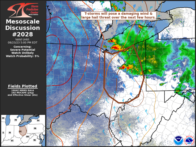
MD 2028 CONCERNING SEVERE POTENTIAL…WATCH LIKELY FOR PORTIONS OF CENTRAL AND EASTERN KANSAS INTO WESTERN MISSOURI

Mesoscale Discussion 2028
NWS Storm Prediction Center Norman OK
0443 PM CDT Wed Sep 03 2025
Areas affected...portions of central and eastern Kansas into western
Missouri
Concerning...Severe potential...Watch likely
Valid 032143Z - 032245Z
Probability of Watch Issuance...80 percent
SUMMARY...Isolated supercells development likely this evening with
hail and damaging winds as the primary threat.
DISCUSSION...Cumulus development is noted near the surface low and
cold front across central Kansas, with a few storms beginning to
develop near the surface trough in western/west-central Kansas. This
thunderstorm development is occurring on the edge of a region of
MLCIN across much of southeastern Kansas in Oklahoma.
With daytime heating under mostly sunny skies, temperatures in this
region in the low to mid 80s. As the cold front shifts southward,
additional thunderstorm development is expected over the next couple
of hours. The environment is favorable for supercells, with MLCAPE
around 1000-2000 J/kg and shear 40-50 kts. VAD profiles from TWX and
ICT show linear hodograph structures, indicative of supercells that
favor splits and potential for large hail and damaging winds. A
watch will likely be needed soon to cover this potential.
..Thornton/Hart.. 09/03/2025
...Please see www.spc.noaa.gov for graphic product...
ATTN...WFO...SGF...EAX...TOP...ICT...GID...DDC...
LAT...LON   39429730 39259630 38989535 38689463 38349441 38079437
            37739438 37419455 37099501 37079544 37119613 37139674
            37059777 37129852 37259893 37379918 37589939 38109948
            38659933 39239870 39429730
MOST PROBABLE PEAK TORNADO INTENSITY...UP TO 95 MPH
MOST PROBABLE PEAK WIND GUST...65-80 MPH
MOST PROBABLE PEAK HAIL SIZE...1.50-2.50 IN
