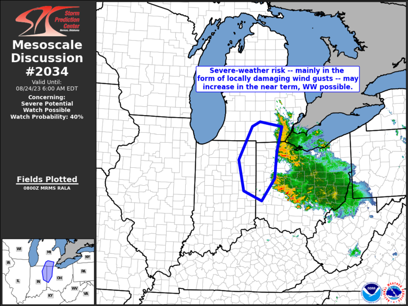
MD 2034 CONCERNING SEVERE POTENTIAL…WATCH UNLIKELY FOR PORTIONS OF SOUTHEASTERN SOUTH DAKOTA INTO FAR SOUTHWESTERN MINNESOTA AND EXTREME NORTHWESTERN IOWA

Mesoscale Discussion 2034
NWS Storm Prediction Center Norman OK
0456 PM CDT Thu Sep 04 2025
Areas affected...portions of southeastern South Dakota into far
southwestern Minnesota and extreme northwestern Iowa
Concerning...Severe potential...Watch unlikely
Valid 042156Z - 042330Z
Probability of Watch Issuance...5 percent
SUMMARY...Storms may continue to intensify over the next few hours
and produce isolated severe gusts.
DISCUSSION...Multicellular convection is developing along a
low-level confluence zone, immediately ahead of a mid-level trough
and associated 120 kt 300 mb jet streak. These storms are developing
amid a strongly sheared/forced environment, characterized by strong
vertical flow fields. The FSD VAD profiler shows show up to 50 kts
of of west-northwesterly flow at or just below 700 mb. As such, any
efficient downward momentum may support strong surface wind gusts, a
few of which could approach severe limits. The primary limitation
for a more robust severe threat is scant buoyancy, and given the
expected isolated nature of the severe threat, a WW issuance is not
expected.
..Squitieri/Mosier.. 09/04/2025
...Please see www.spc.noaa.gov for graphic product...
ATTN...WFO...MPX...DMX...FSD...ABR...
LAT...LON   43429771 44389741 44989690 45109634 44929507 44469431
            43859408 43369419 42969486 42889555 42919652 43029707
            43429771
MOST PROBABLE PEAK WIND GUST...UP TO 60 MPH
