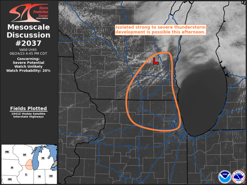
MD 2037 CONCERNING SEVERE THUNDERSTORM WATCH 606… FOR MIDDLE TN AND FAR NORTH AL

Mesoscale Discussion 2037
NWS Storm Prediction Center Norman OK
0559 PM CDT Fri Sep 05 2025
Areas affected...Middle TN and far north AL
Concerning...Severe Thunderstorm Watch 606...
Valid 052259Z - 060100Z
The severe weather threat for Severe Thunderstorm Watch 606
continues.
SUMMARY...A more concentrated swath of strong to localized severe
gusts is possible with potential for a slow-moving cluster to
accelerate across mainly southern Middle Tennessee through
mid-evening.
DISCUSSION...The deepest convective cores have persisted over the
past couple hours across southwest TN. These have congealed into an
initially slow-moving cluster into southern Middle TN with forward
motion of only 15-20 kts. But with strengthening of the surface
temperature gradient, from upper 60s in the emerging cold pool to
85-90 F persisting ahead of the outflow, a more concentrated swath
of strong to localized severe gusts may evolve over the next 2-3
hours. This would be coincident with probable acceleration of the
cold pool that yields more moderate westerly storm motions into
mid-evening. This might eventually approach the southeastern edge of
WW 606 and necessitate a local areal extension. Weak low-level
west-southwesterlies evident in area VWP data does lower confidence
on just how robust the damaging wind threat may become.
..Grams/Mosier.. 09/05/2025
...Please see www.spc.noaa.gov for graphic product...
ATTN...WFO...MRX...FFC...OHX...HUN...MEG...
LAT...LON   35808757 36028694 36128610 36018547 35588533 35228532
            34868547 34708578 34638702 34658780 34668835 34978833
            35428779 35808757
MOST PROBABLE PEAK WIND GUST...55-70 MPH
MOST PROBABLE PEAK HAIL SIZE...UP TO 1.25 IN
