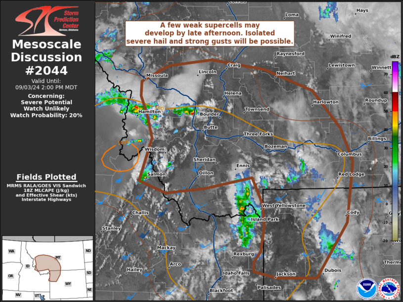
MD 2044 CONCERNING SEVERE POTENTIAL…WATCH UNLIKELY FOR NORTHERN GA INTO WESTERN SC

Mesoscale Discussion 2044
NWS Storm Prediction Center Norman OK
0105 PM CDT Sat Sep 06 2025
Areas affected...Northern GA into western SC
Concerning...Severe potential...Watch unlikely
Valid 061805Z - 062000Z
Probability of Watch Issuance...20 percent
SUMMARY...Isolated wind damage will be possible with the stronger
thunderstorms this afternoon. A watch is not currently expected.
DISCUSSION...Along/ahead of the trailing portion of a slow-moving
cold front extending into northern GA, thunderstorms are beginning
to increase in intensity and coverage -- potentially aided by a
convectively enhanced midlevel impulse approaching the area from the
west. Continued differential heating amid lower 70s dewpoints will
destabilize the inflow for these storms as they spread/develop
eastward through the afternoon. While generally weak deep-layer
flow/shear (per FFC VWP) should favor outflow dominant storms,
enhanced westerly flow in the 6-8-km layer (preceding the midlevel
impulse) may promote a few loosely organized clusters, with a risk
of locally damaging wind gusts through the afternoon.
..Weinman/Hart.. 09/06/2025
...Please see www.spc.noaa.gov for graphic product...
ATTN...WFO...CAE...GSP...MRX...FFC...
LAT...LON   34118498 34448463 34868391 35168301 35128253 34808212
            34228228 33288319 32978391 32988442 33288483 33698502
            34118498
MOST PROBABLE PEAK WIND GUST...55-70 MPH
MOST PROBABLE PEAK HAIL SIZE...UP TO 1.25 IN
