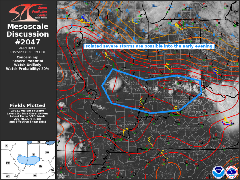
MD 2047 CONCERNING SEVERE POTENTIAL…WATCH UNLIKELY FOR THE SOUTH-CENTRAL HIGH PLAINS

Mesoscale Discussion 2047
NWS Storm Prediction Center Norman OK
0457 PM CDT Sun Sep 07 2025
Areas affected...the south-central High Plains
Concerning...Severe potential...Watch unlikely
Valid 072157Z - 080000Z
Probability of Watch Issuance...20 percent
SUMMARY...Isolated large hail and localized severe gusts are
possible through mid-evening across mainly the northeast New Mexico
and southeast Colorado portion of the south-central High Plains.
DISCUSSION...Initial discrete cells have increased off the Sangre de
Cristo Mountains and Raton Mesa vicinity of northeast NM and in a
separate southwest/northeast-oriented corridor from Pueblo to
Lincoln County, CO. Towering Cu and incipient Cb development is also
underway along a surface trough over southeast CO, northeastward
from the NM convection. With a west to east gradient of surface dew
points from the mid 50s to low 60s out ahead of the Raton
Mesa/southeast CO activity, the best chance for sporadic severe
hail/wind gusts may be in this corridor where a moderate combination
of buoyancy/deep-layer shear persists longest. Convection farther
north will at least have a near-term threat for isolated severe but
should wane in a few hours, especially if sustained development
occurs to its southeast.
..Grams/Mosier.. 09/07/2025
...Please see www.spc.noaa.gov for graphic product...
ATTN...WFO...DDC...GLD...AMA...PUB...BOU...ABQ...
LAT...LON   36120511 36790428 37250401 37700408 38290441 38810442
            39110404 39400327 39390252 38450179 37990164 37240191
            36540245 35430369 35390486 36120511
MOST PROBABLE PEAK WIND GUST...55-70 MPH
MOST PROBABLE PEAK HAIL SIZE...1.00-1.75 IN
