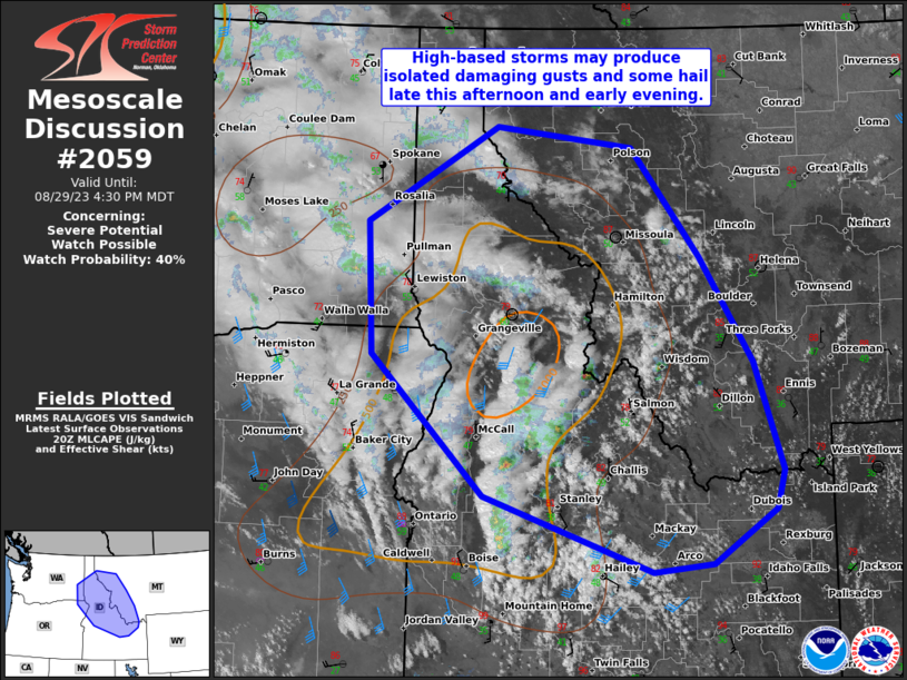
MD 2059 CONCERNING SEVERE POTENTIAL…WATCH UNLIKELY FOR SOUTHWEST NE PANHANDLE VICINITY

Mesoscale Discussion 2059
NWS Storm Prediction Center Norman OK
0710 PM CDT Wed Sep 10 2025
Areas affected...Southwest NE Panhandle vicinity
Concerning...Severe potential...Watch unlikely
Valid 110010Z - 110145Z
Probability of Watch Issuance...5 percent
SUMMARY...A couple hours of severe hail and wind are possible with a
pair of slow-moving supercells before convection weakens after dusk.
DISCUSSION...Convection near the WY/NE border has consolidated into
a pair of nearly stationary supercells. This recent organization
appears to be in response to some strengthening of both mid-level
west-southwesterlies and low-level southerlies in CYS VWP data. The
latter has also supported an influx of 50-54 F surface dew points,
which has aided in the supercell intensification. However, this will
likely be transient/short-lived, similar to how convection had
pulsed up and weaken along the south slope of the Black Hills in far
southwest SD. Onset of nocturnal boundary-layer cooling and large
surface temperature/dew point spreads should foster
outflow-dominated cells that have pronounced weakening after dusk.
..Grams/Hart.. 09/11/2025
...Please see www.spc.noaa.gov for graphic product...
ATTN...WFO...LBF...BOU...CYS...
LAT...LON   41820347 41570259 41080258 40790326 40900388 41170419
            41650397 41820347
MOST PROBABLE PEAK WIND GUST...55-70 MPH
MOST PROBABLE PEAK HAIL SIZE...1.00-1.75 IN
