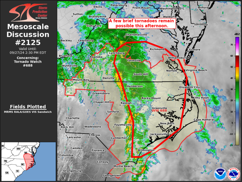
MD 2125 CONCERNING TORNADO WATCH 618… FOR PARTS OF WEST CENTRAL ARKANSAS INTO SOUTHEASTERN OKLAHOMA

Mesoscale Discussion 2125
NWS Storm Prediction Center Norman OK
0530 PM CDT Tue Sep 23 2025
Areas affected...parts of west central Arkansas into southeastern
Oklahoma
Concerning...Tornado Watch 618...
Valid 232230Z - 240030Z
The severe weather threat for Tornado Watch 618 continues.
SUMMARY...Strong to severe thunderstorm development posing a risk
for severe hail and wind may continue to increase through 7-8 PM CDT
across parts of west central Arkansas into southeastern Oklahoma.  A
tornado or two also appears possible, mainly near and east of the
Fort Smith vicinity.
DISCUSSION...Strongest thunderstorm development has been focused
north through northeast of Fort Smith AR, along the trailing flank
of a stalled outflow boundary across northern Arkansas.  This likely
is being aided by forcing for ascent associated with low-level warm
advection, along a 20-30 kt southwesterly 850 mb jet axis.  More
recent, intensifying thunderstorm development is ongoing along a
trailing pre-cold frontal low-level confluence axis, southwestward
across the Poteau/McAlester OK into the Red River vicinity near
Sherman TX.
Aided by inflow of seasonably high moisture content characterized by
sizable CAPE, further intensification appears possible into the
00-01Z time frame, as lift continues to overcome inhibition.  This
may include increasing potential for severe hail and locally
damaging wind gusts.  Tornadic potential is becoming a bit more
unclear, as the stronger 850 jet is forecast to gradually shift
north-northeastward to the cool side of the outflow boundary.
However, the most favorable hodographs probably will remain focused
in the vicinity of the boundary intersection, near and east of Fort
Smith.
..Kerr.. 09/23/2025
...Please see www.spc.noaa.gov for graphic product...
ATTN...WFO...LZK...SHV...TSA...FWD...OUN...
LAT...LON   34119645 34919540 35519403 35909366 35919239 35289211
            34819303 34259483 33689631 34119645
MOST PROBABLE PEAK TORNADO INTENSITY...85-115 MPH
MOST PROBABLE PEAK WIND GUST...55-70 MPH
