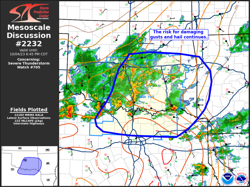
MD 2232 CONCERNING TORNADO WATCH 641… FOR SOUTHEASTERN MISSISSIPPI INTO CENTRAL ALABAMA

Mesoscale Discussion 2232
NWS Storm Prediction Center Norman OK
0236 PM CST Tue Nov 25 2025
Areas affected...Southeastern Mississippi into central Alabama
Concerning...Tornado Watch 641...
Valid 252036Z - 252230Z
The severe weather threat for Tornado Watch 641 continues.
SUMMARY...A brief tornado or two and isolated wind damage remain
possible where surface heating/low-level lapse rates remain
strongest this afternoon. A weakening trend can be expected with
eventual loss of daytime heating.
DISCUSSION...Overall trends for storms within WW 641 this afternoon
have been for relatively brief intensification. A few cells have
continued to show weak low-level rotation, but this has also been
rather transient. Local VAD data suggest low-level shear has
weakened slightly, but is still sufficient for brief tornado
potential. This potential will be maximized where surface heating
has been greatest: southwest of Birmingham and parts of
southern/east-central Alabama. Storms should be able to maintain
some intensity for the next 2-3 hours. Beyond that point,
diminishing surface heating will lead to a weakening trend late this
afternoon.
..Wendt.. 11/25/2025
...Please see www.spc.noaa.gov for graphic product...
ATTN...WFO...BMX...MOB...JAN...
LAT...LON   30918882 31128901 32308825 33068771 33398744 33508704
            33418632 33308567 32798550 32608544 31668621 31188732
            30918882
MOST PROBABLE PEAK TORNADO INTENSITY...85-115 MPH
MOST PROBABLE PEAK WIND GUST...UP TO 60 MPH
