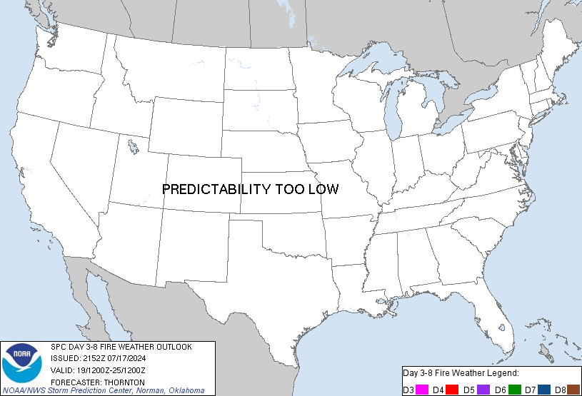
SPC Day 3-8 Fire Weather Outlook

Day 3-8 Fire Weather Outlook
NWS Storm Prediction Center Norman OK
0437 PM CST Sat Dec 20 2025
Valid 221200Z - 281200Z
...Synopsis...
Increasing mid to upper-level heights are expected over the central
and southern CONUS by early next week as a ridge migrates eastward
over Chihuahua Mexico and into the Southern Plains. This ridge will
continue to drift eastward through mid to late next week over the
Gulf, while troughing begins to impact the Pacific Northwest.
Persistent west to southwest mid-level flow across the Rockies will
aid in lee troughing throughout next week, and the potential for
some breezy winds at the surface across the Central and Southern
High Plains.
...Southern High Plains...
Breezy westerly downslope winds are expected to impact the TX and OK
Panhandles and east-central NM by Monday/D3. Low critical
probabilities will remain in the forecast here, though there are
some indications of only locally critical RH being reached.
Decreasing surface wind speeds will accompany a decreasing surface
pressure gradient Tuesday/D4 across this same region. By
Wednesday/D5, however, increasing downslope flow will return as a
lee trough deepens. This stronger surface flow will likely be more
confined to the northwestern/western TX/OK Panhandles and far
northeastern NM, where low critical probabilities remain in place
from the previous forecast. In addition, fuels across this landscape
will become more receptive to fire start/spread with very little to
no sign of appreciable precipitation and above average
temperatures/low relative humidity anticipated through the extended
forecast.
..Barnes.. 12/20/2025
...Please see www.spc.noaa.gov/fire for graphic product...
