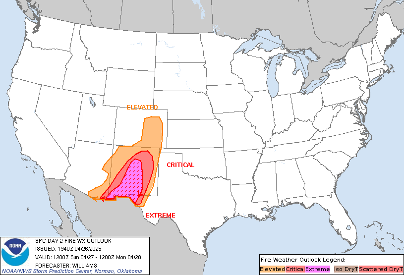
SPC Day 2 Fire Weather Outlook

Day 2 Fire Weather Outlook
NWS Storm Prediction Center Norman OK
1136 PM CST Thu Jan 29 2026
Valid 311200Z - 011200Z
...NO CRITICAL AREAS...
...Synopsis...
A strong upper trough will continue to pivot through the Southeast
on Saturday. A low pressure system will deepen off the East Coast.
While fuels will continue to dry in the West where upper level
ridging will be present, surface high pressure/cold air should
greatly limit fire weather concerns for most areas with drier fuels.
...Southern Georgia into North Florida...
With a low pressure system deepening off the Mid-Atlantic coast,
stronger surface winds will develop behind the cold front within the
Southeast and the Florida Peninsula. Winds of 10-20 mph appear
possible. With cold advection occurring, it is not clear how warm
temperatures will rise or how low RH will fall. There does appear to
be a zone from southern Georgia into North Florida where 25-35% RH
is possible by the afternoon. However, temperatures will still
likely be near 40 F and there is a slight chance for precipitation
as the front moves through late Friday night. Uncertainty is too
high for highlights.
..Wendt.. 01/30/2026
...Please see www.spc.noaa.gov/fire for graphic product...
