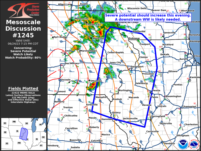
MD 1245 CONCERNING SEVERE THUNDERSTORM WATCH 407… FOR FAR EASTERN NEBRASKA INTO WESTERN IOWA
Mesoscale Discussion 1245
NWS Storm Prediction Center Norman OK
0911 PM CDT Wed Jun 12 2024
Areas affected…far eastern Nebraska into western Iowa
Concerning…Severe Thunderstorm Watch 407…
Valid 130211Z – 130415Z
The severe weather threat for Severe Thunderstorm Watch 407
continues.
SUMMARY…The threat of large hail persists over a small area of
eastern Nebraska into western Iowa in the near term. Storms will
likely shrink in size during the next 1-2 hours.
DISCUSSION…A pair of large supercells with history of very large
hail remain over western IA into far eastern NE near the Omaha area.
The 00Z sounding from OAX shows a rather deep moist layer up to
nearly 700 mb, not far from the LFC, with favorable deep-layer
shear.
Given the loss of heating, the cooling boundary layer will gain
convective inhibition relatively quickly, perhaps in the next hour,
which should result in a weakening trend with these cells. Until
then, hail will remain likely through about 03-04Z, with locally
gusty winds as well prior to
..Jewell.. 06/13/2024
…Please see www.spc.noaa.gov for graphic product…
ATTN…WFO…OAX…
LAT…LON 41439612 41529605 41629584 41619552 41529532 41039511
40829514 40729539 40749566 40889593 41119610 41439612
