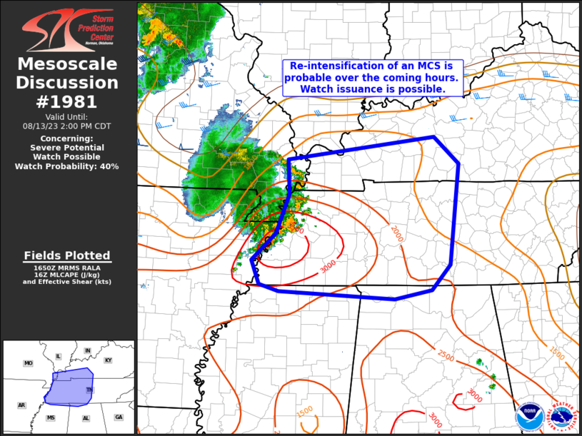
MD 1981 CONCERNING SEVERE POTENTIAL…WATCH UNLIKELY FOR EASTERN MONTANA
Mesoscale Discussion 1981
NWS Storm Prediction Center Norman OK
0539 PM CDT Fri Aug 23 2024
Areas affected…Eastern Montana
Concerning…Severe potential…Watch unlikely
Valid 232239Z – 240045Z
Probability of Watch Issuance…20 percent
SUMMARY…Isolated threat for wind/hail will be noted with
convection this evening. Watch is not currently anticipated.
DISCUSSION…Mid-level heights are being suppressed a bit over
central/eastern MT along the eastern influence of a short-wave
trough that is ejecting north across the northern Rockies. While
large-scale influence of this feature will likely remain focused
across western MT, strong boundary-layer heating has contributed to
steep 0-3km lapse rates as temperature are now well into the mid
90s. Convective temperature have been breached, and negligible CINH
is supported by thickening boundary-layer cu field, and isolated
thunderstorms between GGW-OLF. This clustering is occurring within a
zone of favorable low-level confluence, and along an instability
axis where MLCAPE values are in excess of 2000 J/kg. There is some
concern a few robust updrafts will evolve across eastern MT over the
next few hours as surface-6km bulk shear is more than adequate for
sustaining organized updrafts; however, it’s not entirely clear how
many storms will evolve. Another concern is any storms that linger
beyond sunset will eventually be aided by a strengthening LLJ. Will
continue to monitor this region, but at this time a watch is not
currently anticipated.
..Darrow/Gleason.. 08/23/2024
…Please see www.spc.noaa.gov for graphic product…
ATTN…WFO…BYZ…GGW…
LAT…LON 49010432 46200421 46210675 48800743 49010432
