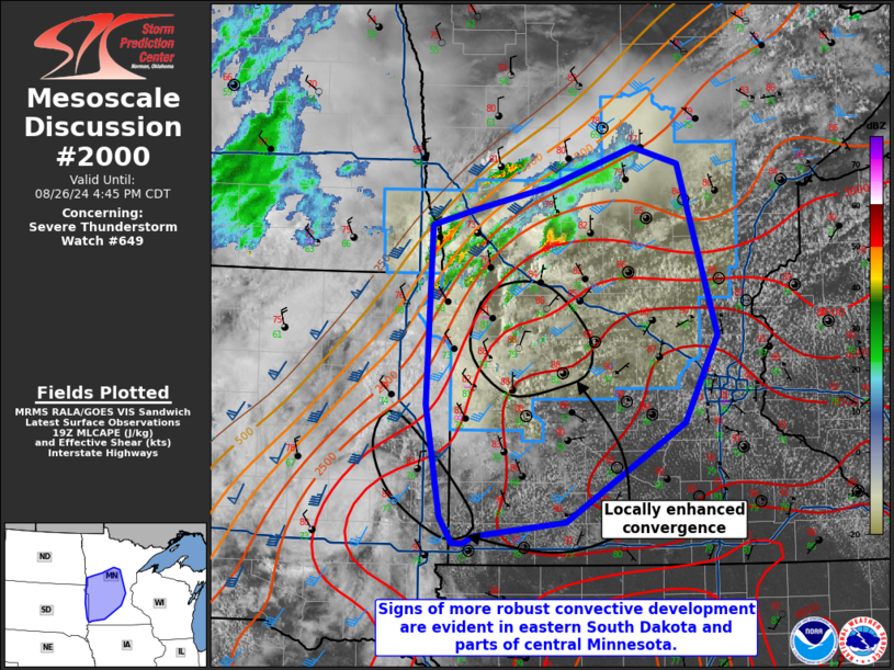
MD 2000 CONCERNING SEVERE POTENTIAL…WATCH UNLIKELY FOR NORTH-CENTRAL GEORGIA AND WESTERN SOUTH CAROLINA
Mesoscale Discussion 2000
NWS Storm Prediction Center Norman OK
1250 PM CDT Tue Aug 15 2023
Areas affected…North-central Georgia and western South Carolina
Concerning…Severe potential…Watch unlikely
Valid 151750Z – 151915Z
Probability of Watch Issuance…20 percent
SUMMARY…Scattered strong to severe thunderstorms are possible
through the afternoon.
DISCUSSION…A cluster of thunderstorms has developed along a cold
front moving through northern Georgia and western South Carolina.
These thunderstorms are forming in an airmass with dewpoints in the
mid to upper 70s and temperatures in the low to mid 90s. This has
resulted in 3000 J/kg MLCAPE and effective shear around 25 to 30
knots of effective shear. Multicell clusters and perhaps a supercell
will be the likely storm mode through the afternoon. Damaging wind
gusts will be the primary threat with this activity.
A severe thunderstorm watch is unlikely due to the weak shear and
the expectation for somewhat nebulous storm organization.
..Bentley/Hart.. 08/15/2023
…Please see www.spc.noaa.gov for graphic product…
ATTN…WFO…CAE…GSP…FFC…BMX…
LAT…LON 33058582 33788510 33998442 34108389 34198348 34428310
35038275 35168113 34968073 34588053 34028064 33528119
33028237 32818321 32778371 32718538 33058582
