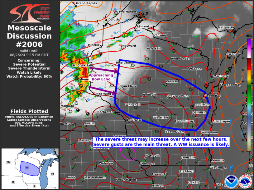
MD 2006 CONCERNING SEVERE POTENTIAL…WATCH UNLIKELY FOR FAR SOUTHEAST WYOMING INTO CENTRAL COLORADO

Mesoscale Discussion 2006
NWS Storm Prediction Center Norman OK
0221 PM CDT Sat Aug 23 2025
Areas affected...Far southeast Wyoming into central Colorado
Concerning...Severe potential...Watch unlikely
Valid 231921Z - 232115Z
Probability of Watch Issuance...20 percent
SUMMARY...Isolated thunderstorms, including a supercell or two, may
pose a large hail threat across northern and central Colorado
through early evening. This threat should remain sufficiently
isolated to preclude watch issuance.
DISCUSSION...GOES visible imagery and lightning data show a gradual
uptick in deep convection across much of the central Rockies as
temperatures slowly warm into the 70s and low 80s along the Front
Range and within the higher elevation. Although lingering cloud
cover continues to modulate daytime heating to some degree, latest
RAP mesoanalysis estimates suggest that even this modest heating is
sufficient to support MLCAPE values of around 1000 J/kg - especially
across north-central CO where a pocket of somewhat richer moisture
is noted in surface observations (upper 50s to low 60s dewpoints).
Additionally, recent VWP observations from KCYS sampled
northwesterly mid-level winds at about 40 knots. Given weak
east/southeasterly low-level flow within a diffuse frontal zone,
this should yield deep-layer bulk shear values of around 40-45 knots
with somewhat elongated/straight hodographs. A recent split of a
shallow convective cell north of the CO/WY border confirms a
favorable kinematic environment is in place for splitting cells.
Convective intensity will likely increase through late afternoon as
daytime heating continues, and the favorable wind profile will
likely promote splitting supercells with an attendant threat for
large hail. That said, limited forcing for ascent away from the
terrain and less favorable thermodynamic conditions with
southeastward extent should limit the overall coverage of intense
convection.
..Moore/Gleason.. 08/23/2025
...Please see www.spc.noaa.gov for graphic product...
ATTN...WFO...PUB...BOU...CYS...GJT...
LAT...LON   38960597 40770657 41100661 41360638 41450603 41410572
            40280385 39880383 39510395 39280416 39030453 38880498
            38800547 38960597
MOST PROBABLE PEAK WIND GUST...UP TO 60 MPH
MOST PROBABLE PEAK HAIL SIZE...1.00-1.75 IN
