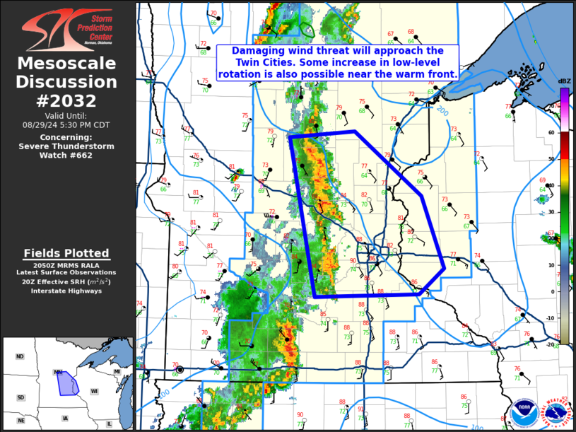
MD 2032 CONCERNING SEVERE POTENTIAL…WATCH UNLIKELY FOR PARTS OF MIDDLE/EASTERN TENNESSEE

Mesoscale Discussion 2032
NWS Storm Prediction Center Norman OK
0119 PM CDT Thu Sep 04 2025
Areas affected...parts of middle/eastern Tennessee
Concerning...Severe potential...Watch unlikely
Valid 041819Z - 042045Z
Probability of Watch Issuance...20 percent
SUMMARY...Occasional intensification of thunderstorms posing a risk
for severe hail and localized damaging wind gusts may continue
through late afternoon.  Although the severe threat still appears
mostly marginal in nature, and severe weather watch unlikely to be
required, trends are continuing to be monitored.
DISCUSSION...An initial surface cold front has stalled roughly along
the I-40 corridor of middle/eastern Tennessee, near the southern
periphery of the stronger cyclonic mid/upper flow associated with
the amplified eastern U.S. troughing.  Although it appears that an
area of better mid/upper forcing for ascent is now shifting to the
east of the southern Appalachians, lift aided by low-level warm
advection along the frontal zone is maintaining renewed thunderstorm
development, as a relatively moist boundary layer characterized by
mid/upper 60s surface dew points destabilizes.  Aided by modestly
steep/steepening lower tropospheric lapse rates, mixed-layer CAPE
appears to be peaking around 1500-2000 J/kg.  In the presence of
weak to modest clockwise curved low-level hodographs, beneath 30-35
kt westerly 500 mb flow, the environment may remain conducive to the
occasional development and intensification of supercell structures
posing a risk for severe hail and localized damaging wind gusts
through the remainder of the afternoon.
..Kerr/Gleason.. 09/04/2025
...Please see www.spc.noaa.gov for graphic product...
ATTN...WFO...GSP...MRX...OHX...
LAT...LON   36478574 36548410 36568358 36318281 36038281 35258357
            35368478 35448663 36048656 36478574
MOST PROBABLE PEAK WIND GUST...55-70 MPH
MOST PROBABLE PEAK HAIL SIZE...1.00-1.75 IN
