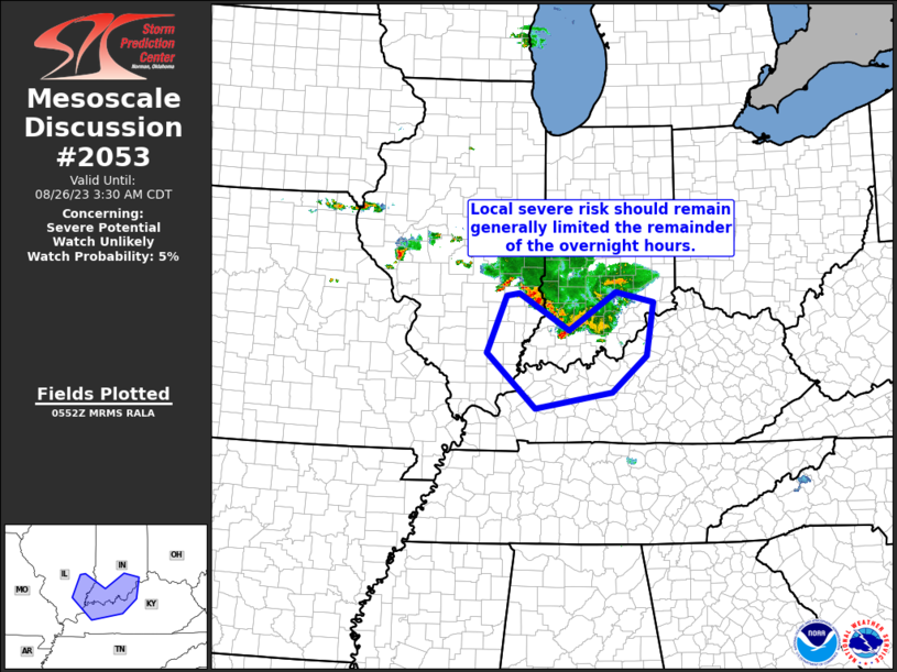
MD 2053 CONCERNING SEVERE POTENTIAL…WATCH POSSIBLE FOR PARTS OF EASTERN CO…WESTERN KS…THE OK PANHANDLE…AND FAR NORTHERN TX PANHANDLE

Mesoscale Discussion 2053
NWS Storm Prediction Center Norman OK
0306 PM CDT Tue Sep 09 2025
Areas affected...Parts of eastern CO...western KS...the OK
Panhandle...and far northern TX Panhandle
Concerning...Severe potential...Watch possible
Valid 092006Z - 092200Z
Probability of Watch Issuance...60 percent
SUMMARY...Severe storms will be capable of producing large hail and
severe wind gusts this afternoon into tonight. Current thinking is
that a watch may eventually be needed for parts of the area, though
timing is uncertain.
DISCUSSION...The latest visible satellite imagery shows two areas of
gradually deepening/expanding boundary-layer cumulus in eastern CO
-- both focused along weak surface boundaries/wind shifts. Shallow
boundary-layer cumulus is also becoming evident over the central OK
Panhandle into the north-central TX Panhandle, where another subtle
surface boundary is evident. Continued mesoscale ascent and diurnal
heating along these boundaries should reduce any remaining
inhibition and support storm initiation between 20-23Z.
High-based/semi-discrete storms should track/develop
east-southeastward into an increasingly moist/unstable air mass
(1500-2000 J/kg MLCAPE). Around 30-40 kt of effective shear
(characterized by a long/mostly straight hodograph) should favor
splitting cells with a risk of large hail and locally severe gusts.
With time, storms may congeal into clusters as they move southward
and intercept a gradually strengthening low-level jet this evening.
Current thinking is that a watch may eventually be needed for parts
of the area, though timing is uncertain.
..Weinman/Hart.. 09/09/2025
...Please see www.spc.noaa.gov for graphic product...
ATTN...WFO...DDC...GLD...AMA...PUB...BOU...
LAT...LON   38070258 38600275 39010306 39240341 39780347 40040315
            39980234 39680162 38870089 36720051 36240087 36200136
            37030200 37620237 38070258
MOST PROBABLE PEAK WIND GUST...65-80 MPH
MOST PROBABLE PEAK HAIL SIZE...1.50-2.50 IN
