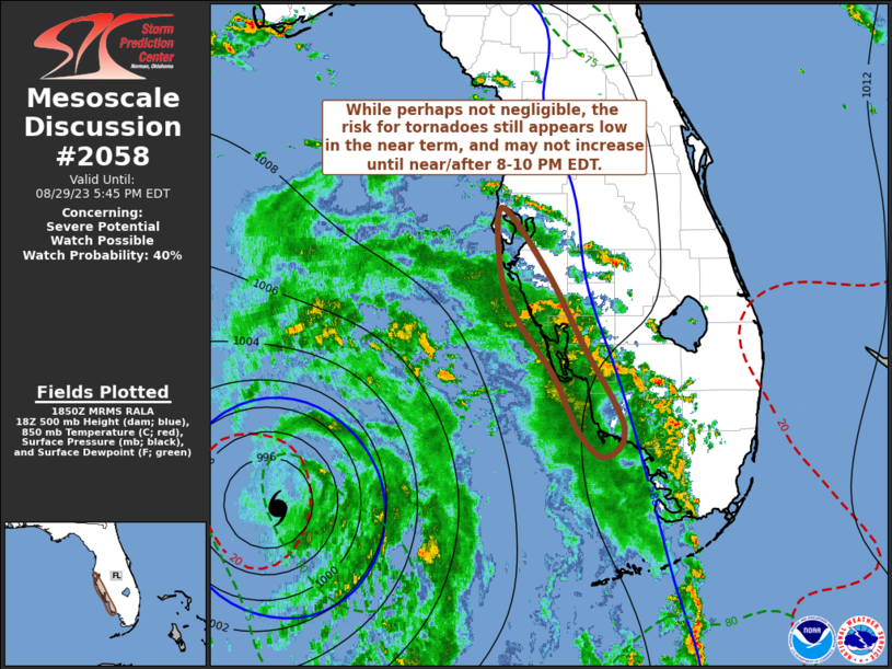
MD 2058 CONCERNING SEVERE POTENTIAL…WATCH UNLIKELY FOR PARTS OF NORTH-CENTRAL NV INTO SOUTHWEST ID AND EXTREME SOUTHEAST OR

Mesoscale Discussion 2058
NWS Storm Prediction Center Norman OK
0349 PM CDT Wed Sep 10 2025
Areas affected...Parts of north-central NV into southwest ID and
extreme southeast OR
Concerning...Severe potential...Watch unlikely
Valid 102049Z - 102245Z
Probability of Watch Issuance...5 percent
SUMMARY...A few strong storms may develop by late afternoon.
Localized strong to severe gusts and small to near-severe hail are
possible.
DISCUSSION...Storms are beginning to develop across parts of
north-central NV this afternoon, to the east of a mid/upper-level
cyclone centered over northern CA. Storm coverage is expected to
increase through late afternoon, as a midlevel vorticity maximum
moves across the Great Basin, along the eastern periphery of the
upper cyclone. Low-level moisture is generally limited across the
region, but steep midlevel lapse rates and rather cold temperatures
aloft will support MUCAPE of 500-1000 J/kg in areas where heating
continues through late afternoon. Modestly enhanced midlevel flow to
the east of the upper cyclone will support a gradual increase in
effective shear into the 25-35 kt range, sufficient for at least
transient storm organization.
While storm intensity will be tempered by the modest buoyancy, steep
low-level lapse rates will support a threat of strong to locally
severe gusts, especially if any clustering and outflow consolidation
can evolve with time. Small to near-severe hail also cannot be ruled
out, given the generally cool temperature profiles and favorable
lapse rates.
..Dean/Guyer.. 09/10/2025
...Please see www.spc.noaa.gov for graphic product...
ATTN...WFO...BOI...LKN...REV...
LAT...LON   41141578 39521614 39171710 39471759 40961732 42761757
            43241704 43141630 42841585 42461565 41851565 41141578
MOST PROBABLE PEAK WIND GUST...55-70 MPH
MOST PROBABLE PEAK HAIL SIZE...UP TO 1.25 IN
