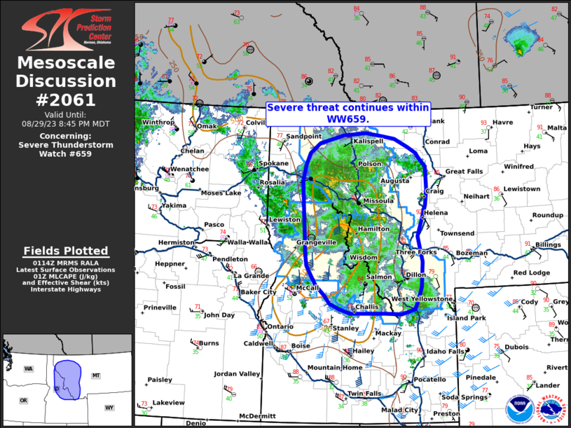
MD 2061 CONCERNING SEVERE POTENTIAL…WATCH UNLIKELY FOR PORTIONS OF NORTHERN NORTH DAKOTA

Mesoscale Discussion 2061
NWS Storm Prediction Center Norman OK
1011 PM CDT Thu Sep 11 2025
Areas affected...portions of northern North Dakota
Concerning...Severe potential...Watch unlikely
Valid 120311Z - 120515Z
Probability of Watch Issuance...5 percent
SUMMARY...A few more instances of severe hail may occur over the
next few hours with any discrete supercells that form or persist.
DISCUSSION...Isolated, splitting supercells have developed along or
immediately north of a quasi-stationary baroclinic boundary, and
have produced severe hail over the past hour. These storms are
likely elevated amid an environment where MLCINH continues to
increase. When also considering weak forcing for ascent, questions
remain if additional storms will form, and if the ongoing supercells
will persist. Nonetheless, 2000-3000 J/kg MLCAPE and 35+ kts of
effective bulk shear will continue to support the potential for
severe-hail-producing supercells for at least a couple more hours.
..Squitieri/Hart.. 09/12/2025
...Please see www.spc.noaa.gov for graphic product...
ATTN...WFO...FGF...BIS...
LAT...LON   48560388 48830146 48709934 48309801 47859763 47459812
            47359937 47390090 47580233 47900329 48080348 48560388
MOST PROBABLE PEAK WIND GUST...UP TO 60 MPH
MOST PROBABLE PEAK HAIL SIZE...1.00-1.75 IN
