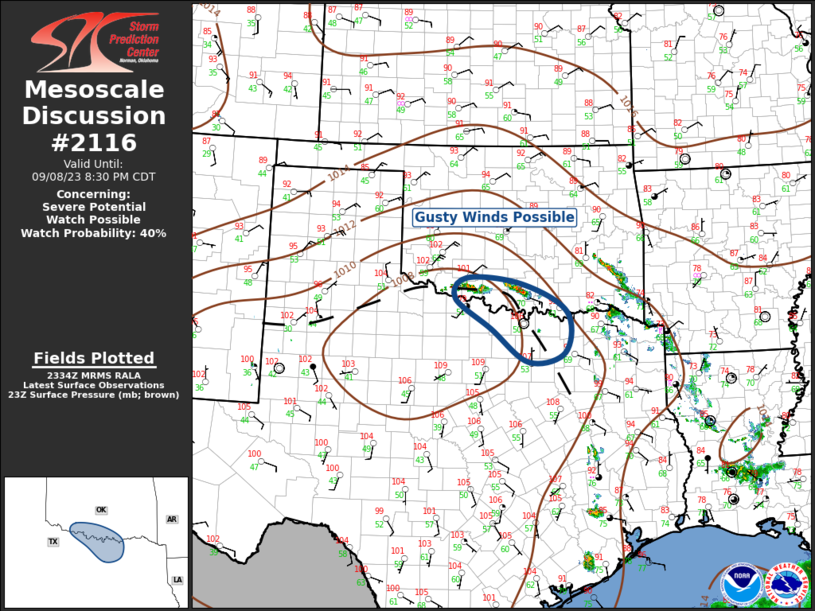
MD 2116 CONCERNING SEVERE POTENTIAL…WATCH UNLIKELY FOR FAR SOUTHEAST MINNESOTA INTO WEST-CENTRAL/SOUTHWESTERN WISCONSIN AND FAR NORTHERN IOWA

Mesoscale Discussion 2116
NWS Storm Prediction Center Norman OK
0243 PM CDT Mon Sep 22 2025
Areas affected...Far southeast Minnesota into
west-central/southwestern Wisconsin and far northern Iowa
Concerning...Severe potential...Watch unlikely
Valid 221943Z - 222115Z
Probability of Watch Issuance...20 percent
SUMMARY...Isolated large hail and perhaps a tornado could occur near
an outflow boundary in west-central Wisconsin and vicinity. A watch
is not anticipated.
DISCUSSION...On the southern flank of a positively tilted trough in
the upper Great Lakes region, a severe storm has developed south of
La Crosse, WI. This storm has formed along the edge of outflow from
earlier convection. Strong heating to the southwest of this activity
has promoted around 1500 J/kg MLCAPE in the vicinity of the
Mississippi River. While storm coverage may remain isolated, 35 kts
of 0-6 km shear (per KARX VAD) suggests supercells are possible.
Mid-level lapse rates are modest, but cold air aloft would support
large hail, especially with supercells. The KARX VAD also shows
enlarged low-level hodographs (though low-level shear is larger in
the cooler air). There will be at least a brief window for greater
tornado potential along the outflow boundary before 850 mb veer
later this afternoon.
..Wendt/Smith.. 09/22/2025
...Please see www.spc.noaa.gov for graphic product...
ATTN...WFO...MKX...ARX...MPX...DMX...
LAT...LON   43619048 43389014 43169000 43019024 43059068 43219127
            43309177 43399218 43489336 43759363 43999331 44039236
            43799111 43619048
MOST PROBABLE PEAK TORNADO INTENSITY...UP TO 95 MPH
MOST PROBABLE PEAK WIND GUST...UP TO 60 MPH
MOST PROBABLE PEAK HAIL SIZE...1.00-1.75 IN
