
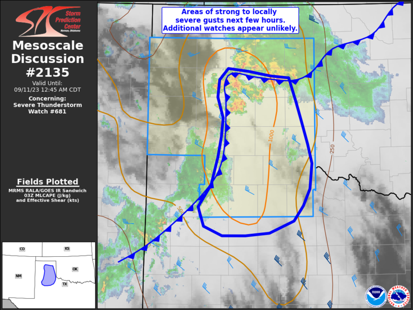
MD 2135 CONCERNING SEVERE THUNDERSTORM WATCH 681… FOR THE TEXAS PANHANDLE INTO THE NORTHERN SOUTH PLAINS
Mesoscale Discussion 2135
NWS Storm Prediction Center Norman OK
1052 PM CDT Sun Sep 10 2023
Areas affected…the Texas Panhandle into the northern South Plains
Concerning…Severe Thunderstorm Watch 681…
Valid 110352Z – 110545Z
The severe weather threat for Severe Thunderstorm Watch 681
continues.
SUMMARY…Gusty winds will persist across much of the area over the
next couple hours, with locally severe gusts expected.
DISCUSSION…A large cluster of storms continues to develop
southward across the northern TX Panhandle with heavy rain and
strong outflow winds. Just to the southwest, additional activity has
redeveloped along a separate eastward-moving outflow boundary from
new BGD southwestward through AMA and to just northwest of LBB. The
remaining area of instability between these boundaries remains
favorable for supporting a continued severe threat as the air mass
gets overturned over the next several hours with colliding outflows.
The current south and eastward extent of watch 681 appears to
encompass the greatest risk area, as instability rapidly decreases
near the TX/OK border and to the south of the watch.
..Jewell.. 09/11/2023
…Please see www.spc.noaa.gov for graphic product…
ATTN…WFO…LUB…AMA…
LAT…LON 34240009 33760039 33580082 33540168 33680200 33970210
34310187 34730175 35300167 35620176 35880173 36050158
35940081 35910047 35550033 34620005 34240009