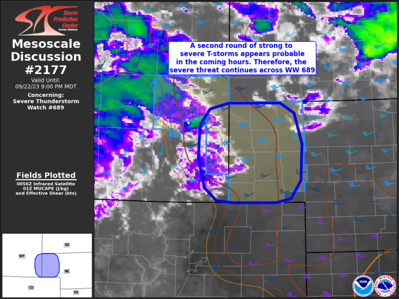
MD 2177 CONCERNING SEVERE THUNDERSTORM WATCH 631… FOR PARTS OF SOUTHEAST TEXAS

Mesoscale Discussion 2177
NWS Storm Prediction Center Norman OK
0316 AM CDT Sat Oct 25 2025
Areas affected...Parts of southeast Texas
Concerning...Severe Thunderstorm Watch 631...
Valid 250816Z - 251015Z
The severe weather threat for Severe Thunderstorm Watch 631
continues.
SUMMARY...Damaging wind gusts and a brief/embedded tornado or two
remain possible in Severe Thunderstorm Watch 631 -- especially in a
west-east corridor extending from parts of Harris County to
Jefferson County through around 11Z.
DISCUSSION...The latest radar data from KHGX and especially TIAH
show several embedded/transient mesovortex structures within the
convective line moving across southeast TX. As the line continues
eastward, the combination of lower 70s dewpoints and enhanced
low-level hodograph curvature (around 200 m2/s2 0-1km SRH per VWP
data) will continue to support these transient/enhanced embedded
circulations -- posing a risk of damaging gusts and possibly a brief
tornado or two. The most favorable corridor appears to extend from
parts of Harris County eastward to Jefferson County through around
11Z.
..Weinman.. 10/25/2025
...Please see www.spc.noaa.gov for graphic product...
ATTN...WFO...LCH...HGX...
LAT...LON   29629427 29659553 29859576 30289566 30349526 30139408
            29859398 29629427
MOST PROBABLE PEAK TORNADO INTENSITY...UP TO 95 MPH
MOST PROBABLE PEAK WIND GUST...55-70 MPH
