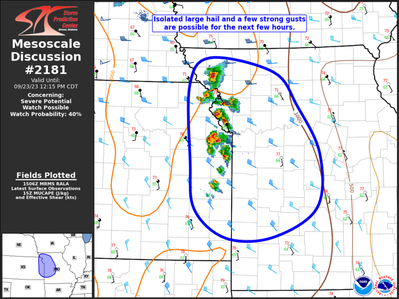
MD 2181 CONCERNING SEVERE POTENTIAL…WATCH POSSIBLE FOR SOUTHERN LA AND FAR SOUTHEAST TX/SOUTHWEST MS

Mesoscale Discussion 2181
NWS Storm Prediction Center Norman OK
0940 PM CDT Sat Oct 25 2025
Areas affected...southern LA and far southeast TX/southwest MS
Concerning...Severe potential...Watch possible
Valid 260240Z - 260445Z
Probability of Watch Issuance...40 percent
SUMMARY...Some tornado and damaging wind threat may yet occur as a
messy cluster spreads eastward from southeast Texas across southern
Louisiana overnight. While temporal uncertainty exists in whether a
watch will be needed, one could be possible based on observational
trends over the next several hours.
DISCUSSION...An east-southeast progressing broken linear cluster has
not produced any reported severe since 21Z. The orientation of deep
convection has largely yielded continuous undercutting by nearly
line-parallel outflow. There are signs of a more southeasterly
surge, north of Galveston Bay, which could be initial attempts at
intensification tonight as the messy cluster impinges on the
residual MLCAPE axis across southwest LA. Evening guidance has
backed off on the strength of low-level jet intensification, but
some modest increase has occurred per time-series of HGX/LCH VWPs
relative to weak low-level shear sampled by the 00Z LCH sounding.
Despite weak tropospheric lapse rates, this setup may be adequate
for a few embedded cells acquiring low-level updraft rotation. These
will be capable of producing a tornado and locally damaging winds,
especially where upper 60s surface dew points can be maintained.
..Grams/Hart.. 10/26/2025
...Please see www.spc.noaa.gov for graphic product...
ATTN...WFO...JAN...LIX...LCH...
LAT...LON   30659414 31099300 31429127 30769062 29799056 29109088
            29239149 29699343 29699413 30099435 30659414
MOST PROBABLE PEAK TORNADO INTENSITY...85-115 MPH
MOST PROBABLE PEAK WIND GUST...55-70 MPH
MOST PROBABLE PEAK HAIL SIZE...UP TO 1.25 IN
