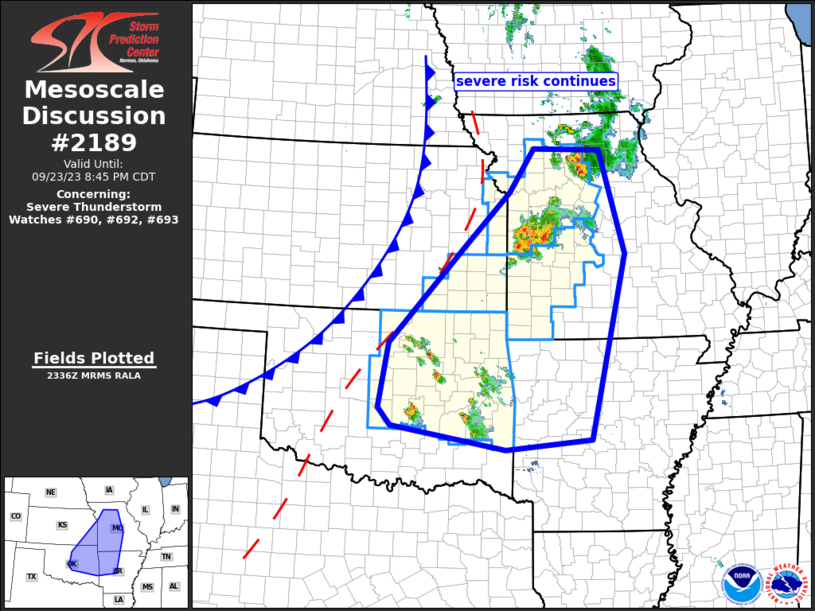
MD 2189 CONCERNING SEVERE POTENTIAL…WATCH UNLIKELY FOR PORTIONS OF THE CENTRAL FLORIDA PENINSULA

Mesoscale Discussion 2189
NWS Storm Prediction Center Norman OK
0246 PM CDT Mon Oct 27 2025
Areas affected...portions of the central Florida Peninsula
Concerning...Severe potential...Watch unlikely
Valid 271946Z - 272215Z
Probability of Watch Issuance...5 percent
SUMMARY...A couple of strong and damaging wind gusts may occur with
the stronger storms this afternoon.
DISCUSSION...An MCS is approaching the FL Peninsula while remaining
organized. Robust insolation is taking place ahead of the MCS over
the central FL Peninsula, with thunderstorm initiation noted. Here,
near 90 F temperatures amid 70+ F dewpoints, beneath modest
mid-level lapse rates, is boosting MLCAPE to 2500+ J/kg (per 19Z
mesoanalysis). Furthermore, appreciably strong mid to upper
west-southwesterly flow is contributing to elongated hodographs and
associated speed shear, as shown via RAP forecast soundings.
However, the modest mid-level lapse rates are constraining buoyancy
to relatively narrow profiles. This may limit the severe threat to a
degree, either with the approaching MCS or any multicellular and/or
transient supercellular storms that can mature ahead of it. The
current thinking is that the more mature storms, or stronger cores
within the approaching MCS, may support a couple of strong, damaging
wind gusts over the next few hours. An instance or two of hail
cannot be ruled out.
..Squitieri/Gleason.. 10/27/2025
...Please see www.spc.noaa.gov for graphic product...
ATTN...WFO...MLB...TBW...JAX...
LAT...LON   28338067 27868047 27658042 27478055 27408078 27378130
            27378191 27378215 27398234 27468244 27678251 28108253
            28678255 29148236 29368209 29478171 29478138 29278103
            28948081 28338067
MOST PROBABLE PEAK WIND GUST...UP TO 60 MPH
MOST PROBABLE PEAK HAIL SIZE...UP TO 1.25 IN
