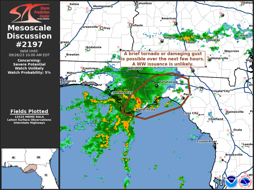
MD 2197 CONCERNING SEVERE POTENTIAL…WATCH POSSIBLE FOR PARTS OF MIDDLE TN…SOUTH-CENTRAL KY…FAR NORTHERN AL

Mesoscale Discussion 2197
NWS Storm Prediction Center Norman OK
0210 PM CST Fri Nov 07 2025
Areas affected...Parts of Middle TN...south-central KY...far
northern AL
Concerning...Severe potential...Watch possible
Valid 072010Z - 072215Z
Probability of Watch Issuance...60 percent
SUMMARY...The severe-storm threat is expected to increase later this
afternoon into the evening. Damaging wind, isolated hail, and a
couple tornadoes may occur. Watch issuance is possible.
DISCUSSION...An area of precipitation with embedded weak
thunderstorms is ongoing early this afternoon from central/eastern
KY into northwest TN. Buoyancy along/ahead of the ongoing convection
is currently weak. However, modest diurnal heating, continued
moistening from the southwest, and eventual cooling aloft associated
with an approaching mid/upper-level trough will support MLCAPE of
near/above 1000 J/kg by late afternoon, especially from
western/middle TN into south-central KY.
Deep-layer shear (as sampled from regional VWPs) is already
favorable for storm organization, and should generally strengthen
with time (with effective shear of near/above 50 kt) through early
evening. Some intensification of ongoing storms will be possible
later this afternoon, especially along the southwest flank of
ongoing activity. Additional storm development may occur into parts
of southwest and southern middle TN, in advance of an approaching
cold front.
Updraft intensification/organization may be gradual due to the
modest instability, but eventual development of supercells and/or
small bowing segments will be possible. Moderate low-level
flow/shear (with 0-1 km SRH generally in the 100-200 m2/s2 range)
will support some tornado potential with any sustained supercells,
with at least localized instances of damaging wind and hail also
possible. Watch issuance is possible later this afternoon.
..Dean/Smith.. 11/07/2025
...Please see www.spc.noaa.gov for graphic product...
ATTN...WFO...MRX...JKL...LMK...OHX...HUN...MEG...
LAT...LON   36038821 37008631 37478538 37758475 37318434 36698441
            34868581 34728784 35008824 36038821
MOST PROBABLE PEAK TORNADO INTENSITY...100-130 MPH
MOST PROBABLE PEAK WIND GUST...55-70 MPH
MOST PROBABLE PEAK HAIL SIZE...UP TO 1.25 IN
