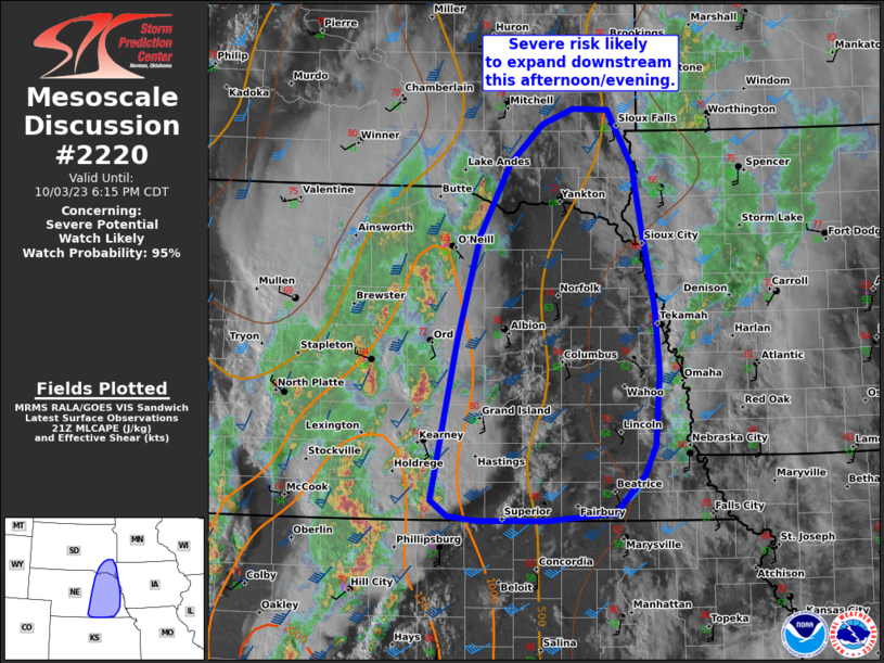
MD 2220 CONCERNING SEVERE THUNDERSTORM WATCH 637… FOR NORTHWEST TEXAS TO THE EDWARDS PLATEAU

Mesoscale Discussion 2220
NWS Storm Prediction Center Norman OK
0835 PM CST Sun Nov 23 2025
Areas affected...Northwest Texas to the Edwards Plateau
Concerning...Severe Thunderstorm Watch 637...
Valid 240235Z - 240430Z
The severe weather threat for Severe Thunderstorm Watch 637
continues.
SUMMARY...Sporadic severe hail and wind remains possible across
portions of northwest Texas southward into parts of the Edwards
Plateau through the late evening hours.
DISCUSSION...A pair of strong thunderstorms continues to progress
northeastward along and south of the I-20 corridor in west-central
Texas. These cells have a history of producing sub-severe hail, but
have shown some degree of intensification in lightning trends and
cloud-top temperatures over the past 30-45 minutes. Based on recent
surface obs and analyses, these cells are likely becoming elevated
as they move into a more cool/stable low-level environment. The
downstream 00 UTC FWD sounding shows adequate MUCAPE and effective
bulk shear to maintain strong, to potentially severe, convection. As
such, the relatively greatest near-term severe threat will reside
downstream of the ongoing cells where sporadic instances of severe
hail, and perhaps damaging winds, will be possible.
Back to the south/southwest, isolated convective cells have
struggled to intensify, likely owing to lingering capping within the
warm sector as sampled by the 00 UTC DRT sounding. Some
lifting/erosion of this warm layer is expected as lift associated
with the right-entrance region of an upper-level jet overspreads the
Edwards Plateau later tonight. Recent CAM guidance suggests that a
second round of thunderstorms is possible between 03-07 UTC, though
it remains unclear how intense/widespread this convection will be
given that 00 UTC HRRR/RRFS solutions have not accurately captured
the warmth/strength of the capping layer. Nonetheless, given
adequate deep-layer shear an isolated severe threat may still
materialize later tonight.
For both regions, the overall severe threat is expected to remain
sufficiently isolated to preclude downstream watch issuance of WW
637.
..Moore.. 11/24/2025
...Please see www.spc.noaa.gov for graphic product...
ATTN...WFO...FWD...OUN...EWX...SJT...LUB...MAF...
LAT...LON   31010266 31610134 31790097 32090067 32900012 33359981
            33609951 33669909 33629887 33429872 32879852 32439859
            32139875 30880006 30560057 30400095 30260163 30220215
            30220246 30290278 30390295 30630304 30850296 31010266
MOST PROBABLE PEAK WIND GUST...UP TO 60 MPH
MOST PROBABLE PEAK HAIL SIZE...1.00-1.75 IN
