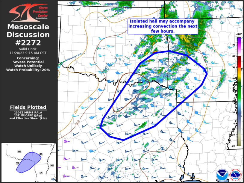
MD 2272 CONCERNING SEVERE POTENTIAL…WATCH UNLIKELY FOR NORTHERN/CENTRAL CALIFORNIA COAST

Mesoscale Discussion 2272
NWS Storm Prediction Center Norman OK
0611 PM CST Thu Dec 25 2025
Areas affected...Northern/Central California Coast
Concerning...Severe potential...Watch unlikely
Valid 260011Z - 260215Z
Probability of Watch Issuance...20 percent
SUMMARY...Gusty winds are possible with convection this evening.
DISCUSSION...Latest satellite imagery suggests a midlevel vort lobe
is located about 125mi southwest of EKA, lifting northeast toward
the northern CA coast. Radar data supports this with an arcing band
of convection, and embedded lightning, extending from the north side
of this vort, arcing southeast to about 100mi west of MRY. Strong
midlevel jet will translate inland over the next several hours in
association with this band of convection. While buoyancy is not
particularly strong, SBCAPE is on the order of 200-300 J/kg, and
wind profiles favor organized updrafts. Current thinking is gusty
winds may accompany this strongly forced band of convection as it
surges inland this evening; however, current thinking is a severe
thunderstorm watch is unlikely.
..Darrow/Hart.. 12/26/2025
...Please see www.spc.noaa.gov for graphic product...
ATTN...WFO...HNX...LOX...STO...MTR...EKA...
LAT...LON   35302183 40082465 40302316 35812044 35302183
MOST PROBABLE PEAK TORNADO INTENSITY...UP TO 95 MPH
MOST PROBABLE PEAK WIND GUST...55-70 MPH
