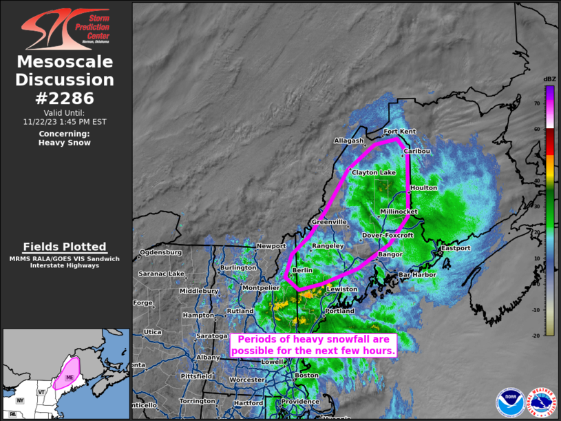
MD 2286 CONCERNING HEAVY SNOW FOR PARTS OF UPPER MICHIGAN AND FAR NORTHERN LOWER MICHIGAN

Mesoscale Discussion 2286
NWS Storm Prediction Center Norman OK
0332 AM CST Mon Dec 29 2025
Areas affected...Parts of Upper Michigan and far northern Lower
Michigan
Concerning...Heavy snow
Valid 290932Z - 291530Z
SUMMARY...Banded heavy snow with rates of 1-2 inches per hour and
periods of blizzard conditions are expected through the morning
hours.
DISCUSSION...To the west/northwest of a very deep low pressure
system (983 mb surface low over Lake Huron), substantial deep-layer
lift is overspreading a cold, deeply saturated profile over Upper MI
and vicinity. The combination of this lift through a deep/saturated
DGZ and isothermal layer below will promote efficient crystal growth
and aggregation. As as result, widespread and prolonged heavy
snowfall rates of 1-1.5 inches per hour are expected, with even
higher rates to around 2 inches per hour over the higher terrain and
beneath the core of more organized banding. In addition to these
substantial and prolonged rates, a very tight pressure gradient
peripheral to the deep surface low and strong low-level jet
(50-60-kt flow in the lowest 1 km AGL per MQT VWP) will promote
40-50 mph gusts and intermittent blizzard conditions in conjunction
with the heavy snowfall rates.
..Weinman.. 12/29/2025
...Please see www.spc.noaa.gov for graphic product...
ATTN...WFO...APX...MQT...
LAT...LON   45458526 45558610 45788701 46168815 46508849 46718842
            46828799 46578760 46408716 46428653 46618622 46738507
            46538424 46158371 45818366 45538398 45398451 45458526
