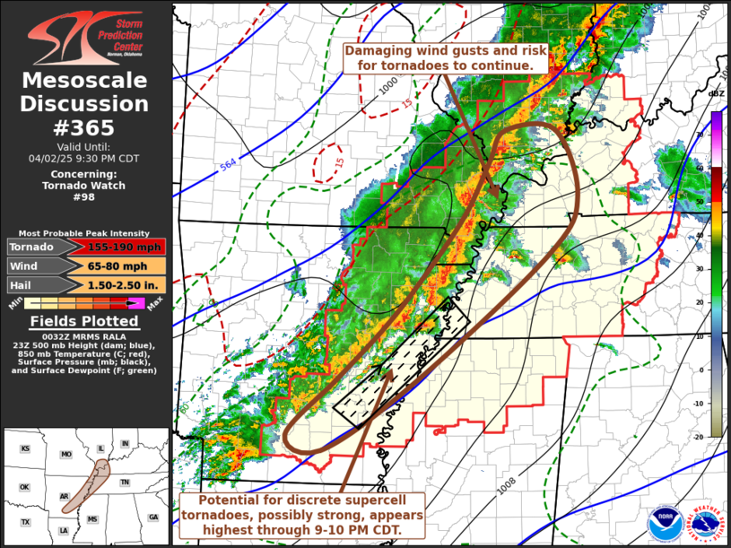
MD 0365 CONCERNING SEVERE POTENTIAL…WATCH POSSIBLE FOR FLORIDA PANHANDLE INTO FAR SOUTHERN GA
Mesoscale Discussion 0365
NWS Storm Prediction Center Norman OK
0416 AM CDT Wed Apr 03 2024
Areas affected…Florida Panhandle into far southern GA
Concerning…Severe potential…Watch possible
Valid 030916Z – 031045Z
Probability of Watch Issuance…40 percent
SUMMARY…Isolated strong to severe thunderstorms will move onshore
across the Florida Panhandle and spread east through the morning.
Some severe risk may accompany this activity and area is being
monitored for possible watch issuance.
DISCUSSION…Convection just offshore the Florida Panhandle has
strengthened and become somewhat better organized over the past 1-2
hours. This activity will move inland and shift east/northeast
through the early morning. The 06z TLH RAOB showed substantial
capping around 700 mb. However, forecast soundings indicated an
eroding cap as large-scale ascent overspreads the area. Strong
vertical shear with enlarged and curved low-level hodographs remains
apparent in regional VWP data. While instability will be greatest
near the coast, sufficient instability extends northward into
southern GA to maintain organized convection. Locally damaging gusts
and a tornado or two may be possible across the MCD area and a watch
may be considered within the hour.
..Leitman/Smith.. 04/03/2024
…Please see www.spc.noaa.gov for graphic product…
ATTN…WFO…JAX…TAE…
LAT…LON 30298615 30868490 31048368 30908314 30388297 29958304
29198378 29248497 29398577 29488642 29678662 30298615
