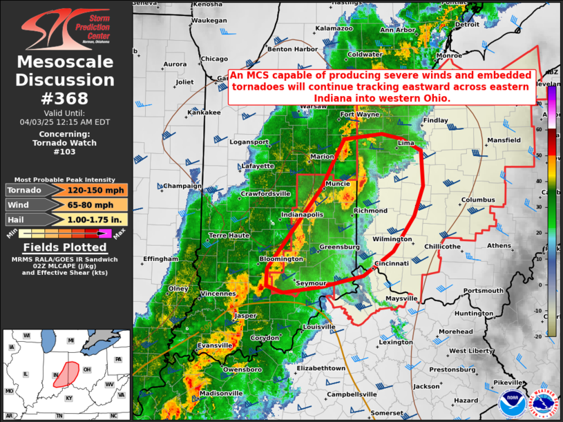
MD 0368 CONCERNING SEVERE POTENTIAL…WATCH POSSIBLE FOR PORTIONS OF NORTHERN NC INTO VA…MD…AND DE
Mesoscale Discussion 0368
NWS Storm Prediction Center Norman OK
1020 AM CDT Wed Apr 03 2024
Areas affected…Portions of northern NC into VA…MD…and DE
Concerning…Severe potential…Watch possible
Valid 031520Z – 031715Z
Probability of Watch Issuance…60 percent
SUMMARY…The threat for severe thunderstorms capable of producing
damaging winds, a few tornadoes and perhaps some hail should
gradually increase over the next couple of hours. Watch issuance
will probably be needed.
DISCUSSION…15Z surface observations show a front draped southwest
to northeast across VA into MD/DE, with a surface low centered over
southwest VA. This low is forecast to slowly deepen as it develops
northeastward along the front towards central VA/MD by late this
afternoon. Although clouds remain widespread across much of the
Mid-Atlantic, a moist and gradually destabilizing airmass is present
along/south of the front into NC. A lobe of ascent associated with
the left exit region of a strong upper-level jet and a mid-level
vorticity maximum over the central Appalachians will likely
encourage additional convective development in the next 1-2 hours
across western into central VA. This activity will likely become
organized, with the potential for a mix of small bowing clusters and
supercells possible given the presence of very strong deep-layer
shear.
Instability may tend to remain fairly muted given the widespread
cloud cover. Still, MLCAPE around 500-1000 J/kg should eventually
develop with continued low-level warming/moistening, and given
steepened mid-level lapse rates noted on the 12Z RNK sounding.
Damaging winds will be possible with any robust cluster that can
develop and track northeastward. A tornado threat should exist with
any supercell, as 0-1 km shear of 35-40 kt and ample effective SRH
should encourage low-level updraft rotation. Isolated hail may also
occur with any convection that can remain semi-discrete. Given
expectations for a gradually increasing severe threat in the next
1-2 hours, watch issuance will probably be needed.
..Gleason/Thompson.. 04/03/2024
…Please see www.spc.noaa.gov for graphic product…
ATTN…WFO…PHI…AKQ…LWX…RAH…RNK…
LAT…LON 36407975 36987971 37767885 38757723 38867601 38647503
38337502 37517552 36757638 36127742 36087899 36407975
