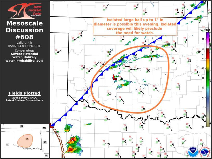
MD 0608 CONCERNING SEVERE POTENTIAL…WATCH UNLIKELY FOR CENTRAL/SOUTH-CENTRAL OK
Mesoscale Discussion 0608
NWS Storm Prediction Center Norman OK
0608 PM CDT Thu May 02 2024
Areas affected…Central/South-Central OK
Concerning…Severe potential…Watch unlikely
Valid 022308Z – 030115Z
Probability of Watch Issuance…20 percent
SUMMARY…Isolated large hail up to 1″ in diameter is possible
across portion of central and south-central Oklahoma this evening.
DISCUSSION…Recent radar and visible satellite imagery has shown
some modest increase in both thunderstorm coverage and intensity
over central OK during the past half hour or so, some of which
occurred along the cold front and some of which developed to the
southeast of a weak frontal low. The air mass is uncapped and
moderately buoyant, so some additional thunderstorm development is
anticipated across the region as the cold front slowly pushes
southward/southeastward. A predominately multicellular mode is
anticipated but moderate vertical shear (i.e. around 35-40 kt of
effective bulk shear) is in place across the region, which should be
sufficient for a few more organized storm structures. Consequently,
some isolated hail up to 1″ in diameter appears possible this
evening with any of the more mature/organized storms. Overall severe
coverage is expected to remain isolated, likely precluding the need
for a watch. However, convective trends across the region are being
monitored closely.
..Mosier/Guyer.. 05/02/2024
…Please see www.spc.noaa.gov for graphic product…
ATTN…WFO…TSA…OUN…
LAT…LON 35189897 36029774 35949629 34659634 34069708 34179834
34519901 35189897
