
WW 31 SEVERE TSTM IA NE 142020Z – 150300Z
URGENT - IMMEDIATE BROADCAST REQUESTED
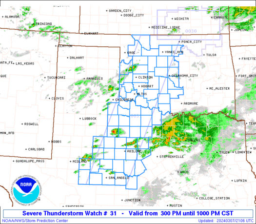
Severe Thunderstorm Watch Number 31
NWS Storm Prediction Center Norman OK
320 PM CDT Fri Mar 14 2025
The NWS Storm Prediction Center has issued a
* Severe Thunderstorm Watch for portions of
Western and Central Iowa
Eastern Nebraska
* Effective this Friday afternoon and evening from 320 PM until
1000 PM CDT.
* Primary threats include...
Widespread damaging winds and isolated significant gusts to 90
mph likely
Scattered large hail events to 1.5 inches in diameter possible
A tornado or two possible
SUMMARY...Thunderstorms will spread rapidly north-northeastward this
afternoon and evening, while posing a threat for widespread
severe/damaging winds. The strongest wind gusts could reach 80-90
mph on an isolated basis. Some hail and perhaps a tornado could also
occur if a supercell can form and be sustained later this evening.
The severe thunderstorm watch area is approximately along and 65
statute miles north and south of a line from 25 miles west northwest
of Lincoln NE to 50 miles north of Ottumwa IA. For a complete
depiction of the watch see the associated watch outline update
(WOUS64 KWNS WOU1).
PRECAUTIONARY/PREPAREDNESS ACTIONS...
REMEMBER...A Severe Thunderstorm Watch means conditions are
favorable for severe thunderstorms in and close to the watch area.
Persons in these areas should be on the lookout for threatening
weather conditions and listen for later statements and possible
warnings. Severe thunderstorms can and occasionally do produce
tornadoes.
&&
OTHER WATCH INFORMATION...CONTINUE...WW 30...
AVIATION...A few severe thunderstorms with hail surface and aloft to
1.5 inches. Extreme turbulence and surface wind gusts to 80 knots. A
few cumulonimbi with maximum tops to 500. Mean storm motion vector
19055.
...Gleason