
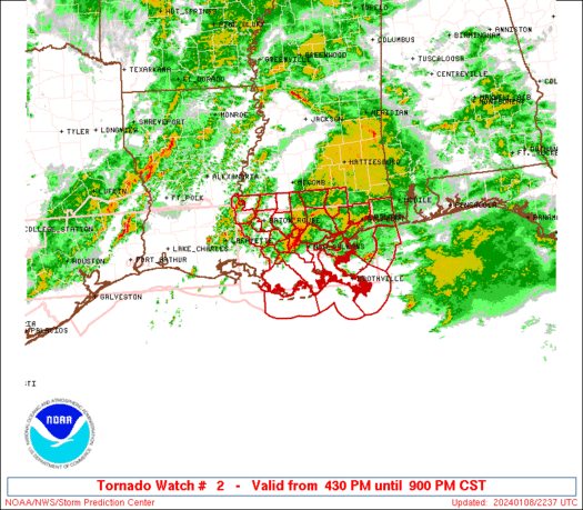
WW 2 TORNADO LA MS 100145Z – 101000Z
URGENT - IMMEDIATE BROADCAST REQUESTED
Tornado Watch Number 2
NWS Storm Prediction Center Norman OK
745 PM CST Fri Jan 9 2026
The NWS Storm Prediction Center has issued a
* Tornado Watch for portions of
  Nothern and Central Louisiana
  Central and Southern Mississippi
* Effective this Friday night and Saturday morning from 745 PM
  until 400 AM CST.
* Primary threats include...
  A few tornadoes possible
  Scattered damaging wind gusts to 70 mph possible
  Isolated large hail events to 1.5 inches in diameter possible
SUMMARY...A mix of clusters and supercells moving east-northeastward
should pose a threat for a few tornadoes and scattered damaging
winds this evening into early Saturday morning.
The tornado watch area is approximately along and 50 statute miles
north and south of a line from 35 miles west southwest of
Natchitoches LA to 35 miles south southeast of Meridian MS. For a
complete depiction of the watch see the associated watch outline
update (WOUS64 KWNS WOU2).
PRECAUTIONARY/PREPAREDNESS ACTIONS...
REMEMBER...A Tornado Watch means conditions are favorable for
tornadoes and severe thunderstorms in and close to the watch
area. Persons in these areas should be on the lookout for
threatening weather conditions and listen for later statements
and possible warnings.
&&
AVIATION...Tornadoes and a few severe thunderstorms with hail
surface and aloft to 1.5 inches. Extreme turbulence and surface wind
gusts to 60 knots. A few cumulonimbi with maximum tops to 450. Mean
storm motion vector 23030.
...Gleason