
WW 20 TORNADO LA MS 111815Z – 120100Z
URGENT – IMMEDIATE BROADCAST REQUESTED
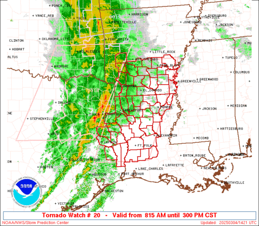
Tornado Watch Number 20
NWS Storm Prediction Center Norman OK
1215 PM CST Sun Feb 11 2024
The NWS Storm Prediction Center has issued a
* Tornado Watch for portions of
Central Louisiana
Central Mississippi
* Effective this Sunday afternoon and evening from 1215 PM until
700 PM CST.
* Primary threats include…
A few tornadoes likely with a couple intense tornadoes possible
Widespread large hail and scattered very large hail events to
2.5 inches in diameter likely
Scattered damaging wind gusts to 70 mph likely
SUMMARY…Scattered supercell development is expected this afternoon
along and just south of a warm front from central Louisiana into
central Mississippi, and storms will spread eastward through this
evening. The most intense supercells along the front will be
capable of producing a couple of strong tornadoes (roughly EF2
damage potential) and large hail of 1.75-2.5 inches in diameter.
Occasional damaging gusts of 60-70 mph will also be possible.
The tornado watch area is approximately along and 40 statute miles
north and south of a line from 35 miles west southwest of Fort Polk
LA to 20 miles east northeast of Meridian MS. For a complete
depiction of the watch see the associated watch outline update
(WOUS64 KWNS WOU0).
PRECAUTIONARY/PREPAREDNESS ACTIONS…
REMEMBER…A Tornado Watch means conditions are favorable for
tornadoes and severe thunderstorms in and close to the watch
area. Persons in these areas should be on the lookout for
threatening weather conditions and listen for later statements
and possible warnings.
&&
OTHER WATCH INFORMATION…CONTINUE…WW 17…WW 18…WW 19…
AVIATION…Tornadoes and a few severe thunderstorms with hail
surface and aloft to 2.5 inches. Extreme turbulence and surface wind
gusts to 60 knots. A few cumulonimbi with maximum tops to 500. Mean
storm motion vector 26035.
…Thompson