WW 0453 Status Updates STATUS REPORT ON WW 453 SEVERE WEATHER THREAT CONTINUES RIGHT OF A LINE FROM 40 W JVL TO 20 S RAC. REMAINING VALID PORTION OF WW MAY BE CANCELLED EARLY. ..KERR..06/25/24 ATTN…WFO…LOT…DVN…MKX… STATUS REPORT FOR WS 453 SEVERE WEATHER THREAT CONTINUES FOR THE FOLLOWING AREAS ILC007-031-037-043-089-097-111-141-201-250440- IL . ILLINOIS COUNTIES INCLUDED …
Continue reading SPC Severe Thunderstorm Watch 453 Status Reports
Month:June 2024
SPC Severe Thunderstorm Watch 454
WW 454 SEVERE TSTM MN WI LS 250235Z – 250900Z URGENT – IMMEDIATE BROADCAST REQUESTED Severe Thunderstorm Watch Number 454 NWS Storm Prediction Center Norman OK 935 PM CDT Mon Jun 24 2024 The NWS Storm Prediction Center has issued a * Severe Thunderstorm Watch for portions of Central and Eastern Minnesota Northwest Wisconsin Lake …
Continue reading SPC Severe Thunderstorm Watch 454
SPC MD 1400
MD 1400 CONCERNING SEVERE POTENTIAL…WATCH LIKELY FOR EAST CENTRAL MINNESOTA INTO NORTHWESTERN WISCONSIN Mesoscale Discussion 1400 NWS Storm Prediction Center Norman OK 0850 PM CDT Mon Jun 24 2024 Areas affected…east central Minnesota into northwestern Wisconsin Concerning…Severe potential…Watch likely Valid 250150Z – 250345Z Probability of Watch Issuance…80 percent SUMMARY…Thunderstorm initiation appears increasingly probable during the …
Continue reading SPC MD 1400
SPC MD 1401
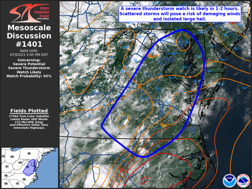
MD 1401 CONCERNING SEVERE POTENTIAL…WATCH POSSIBLE FOR PORTIONS OF WESTERN AND SOUTHERN SD Mesoscale Discussion 1401 NWS Storm Prediction Center Norman OK 0859 PM CDT Mon Jun 24 2024 Areas affected…Portions of western and southern SD Concerning…Severe potential…Watch possible Valid 250159Z – 250300Z Probability of Watch Issuance…40 percent SUMMARY…Scattered thunderstorm development is expected to continue …
Continue reading SPC MD 1401
SPC MD 1399
MD 1399 CONCERNING SEVERE THUNDERSTORM WATCH 452… FOR NORTHERN MINNESOTA AND FAR EAST CENTRAL NORTH DAKOTA Mesoscale Discussion 1399 NWS Storm Prediction Center Norman OK 0753 PM CDT Mon Jun 24 2024 Areas affected…Northern Minnesota and far east central North Dakota Concerning…Severe Thunderstorm Watch 452… Valid 250053Z – 250230Z The severe weather threat for Severe …
Continue reading SPC MD 1399
SPC Severe Thunderstorm Watch 453
WW 453 SEVERE TSTM IL WI LM 250030Z – 250600Z URGENT – IMMEDIATE BROADCAST REQUESTED Severe Thunderstorm Watch Number 453 NWS Storm Prediction Center Norman OK 730 PM CDT Mon Jun 24 2024 The NWS Storm Prediction Center has issued a * Severe Thunderstorm Watch for portions of Northern Illinois Southern Wisconsin Lake Michigan * …
Continue reading SPC Severe Thunderstorm Watch 453
SPC MD 1396
MD 1396 CONCERNING SEVERE POTENTIAL…WATCH POSSIBLE FOR EAST CENTRAL AND SOUTHEAST MINNESOTA…WESTERN INTO CENTRAL WISCONSIN AND NORTHEASTERN IOWA Mesoscale Discussion 1396 NWS Storm Prediction Center Norman OK 0518 PM CDT Mon Jun 24 2024 Areas affected…parts of southeastern Minnesota…southwestern Wisconsin and northeastern Iowa Concerning…Severe potential…Watch possible Valid 242218Z – 250015Z Probability of Watch Issuance…40 percent …
Continue reading SPC MD 1396
SPC MD 1398
MD 1398 CONCERNING SEVERE POTENTIAL…WATCH UNLIKELY FOR FAR SOUTHWESTERN SOUTH DAKOTA AND NORTHWESTERN NE Mesoscale Discussion 1398 NWS Storm Prediction Center Norman OK 0701 PM CDT Mon Jun 24 2024 Areas affected…Far southwestern South Dakota and northwestern NE Concerning…Severe potential…Watch unlikely Valid 250001Z – 250130Z Probability of Watch Issuance…20 percent SUMMARY…Thunderstorm intensification will be possible …
Continue reading SPC MD 1398
SPC Severe Thunderstorm Watch 452
WW 452 SEVERE TSTM MN ND 242250Z – 250500Z URGENT – IMMEDIATE BROADCAST REQUESTED Severe Thunderstorm Watch Number 452 NWS Storm Prediction Center Norman OK 550 PM CDT Mon Jun 24 2024 The NWS Storm Prediction Center has issued a * Severe Thunderstorm Watch for portions of Northwest and North-Central Minnesota Eastern North Dakota * …
Continue reading SPC Severe Thunderstorm Watch 452
SPC Severe Thunderstorm Watch 451 Status Reports
WW 0451 Status Updates STATUS REPORT ON WW 451 SEVERE WEATHER THREAT CONTINUES RIGHT OF A LINE FROM 30 NW ILM TO 45 SE EWN TO HSE. REMAINING VALID PORTION OF WW 451 MAY BE ALLOWED TO EXPIRE AT 25/00Z. ..KERR..06/24/24 ATTN…WFO…MHX…AKQ…ILM… STATUS REPORT FOR WS 451 SEVERE WEATHER THREAT CONTINUES FOR THE FOLLOWING AREAS …
Continue reading SPC Severe Thunderstorm Watch 451 Status Reports


